
My son bought himself a 2008 Jeep Liberty, the newest vehicle he has ever owned, and was desperate to get it on some dirt. So he took my advice, and we went down the Bloody Basin Road through the Agua Fria National Monument, and then kept going on Cave Creek Road, aka Seven Springs road, aka Forest Road 24 all the way back to civilization.
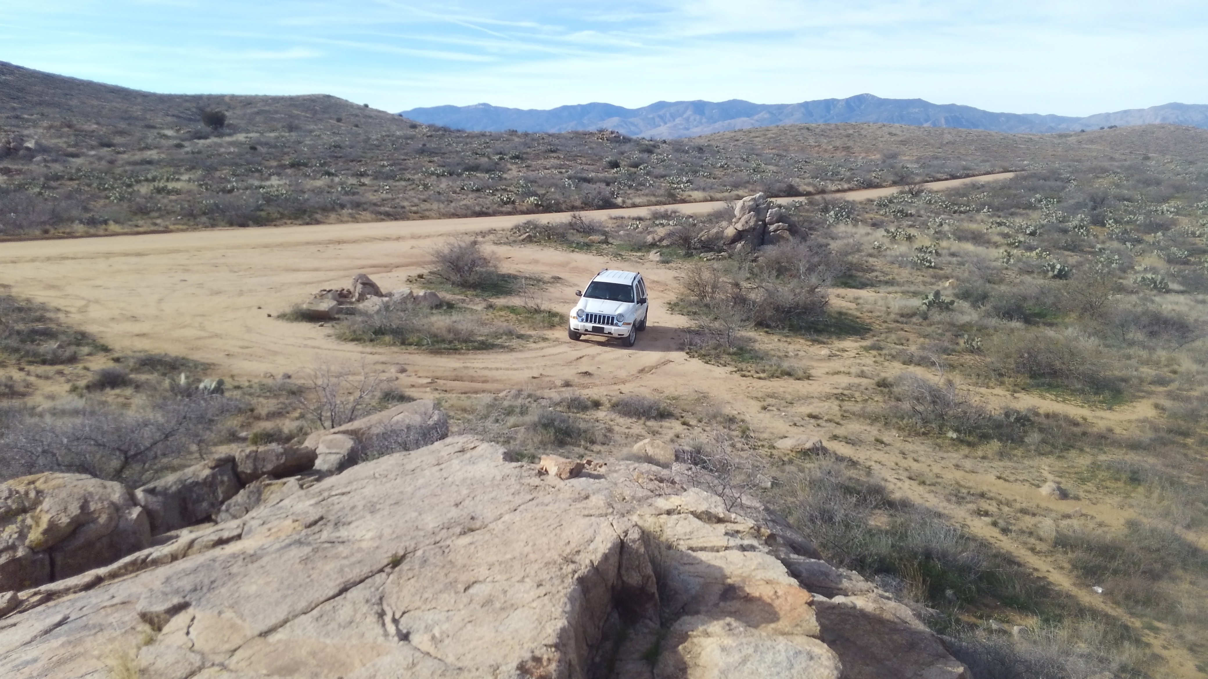
My son’s Liberty on Bloody Basin Road
This is not a serious 4×4 route, though you will benefit from high clearance. People do this in passenger cars, but that is a slow and bumpy journey. Some clearance makes it more recreational. Any SUV will suffice.
Bloody Basin Road, for our purposes, starts at Exit 259 from the I-17, north of the Sunset Point rest stop, but south of Cordes junction. The sign says Bloody Basin Road. Once you are off the highway, you will not see consistent pavement again until nearly Carefree. For us, that was a feature of the journey.
Bloody Basin used to be called Turret Wash until the 1873 Battle of Turret Wash where 27-60 Apaches were killed by US Cavalry forces. The Apache warband, renegade from the reservation, had tortured and killed some nearby ranchers, and then hung out at the creekside, thinking they were in the clear. Cavalry scouts tracked them easily, and troops surrounded them in the night, assaulted at daybreak, routing them with no US casualties.
Historian Zeke Crandall’s account of the incident summarizes the aftermath:
“The bodies of these renegades that rotted on that lonely ridge in Bloody Basin were the same ones that so cruelly killed Swaim, Taylor and McDonald and when the word spread through the territory it sent a major message to the rest of the Apache’s that they were now in a battle with an equally nasty bunch of Army soldiers that would treat them the same way they treated the whites. “
http://arizonatales.com/bloodybasin.pdf
So: Bloody Basin. And now you can casually drive your SUV through the same territory so many many died painful deaths over.
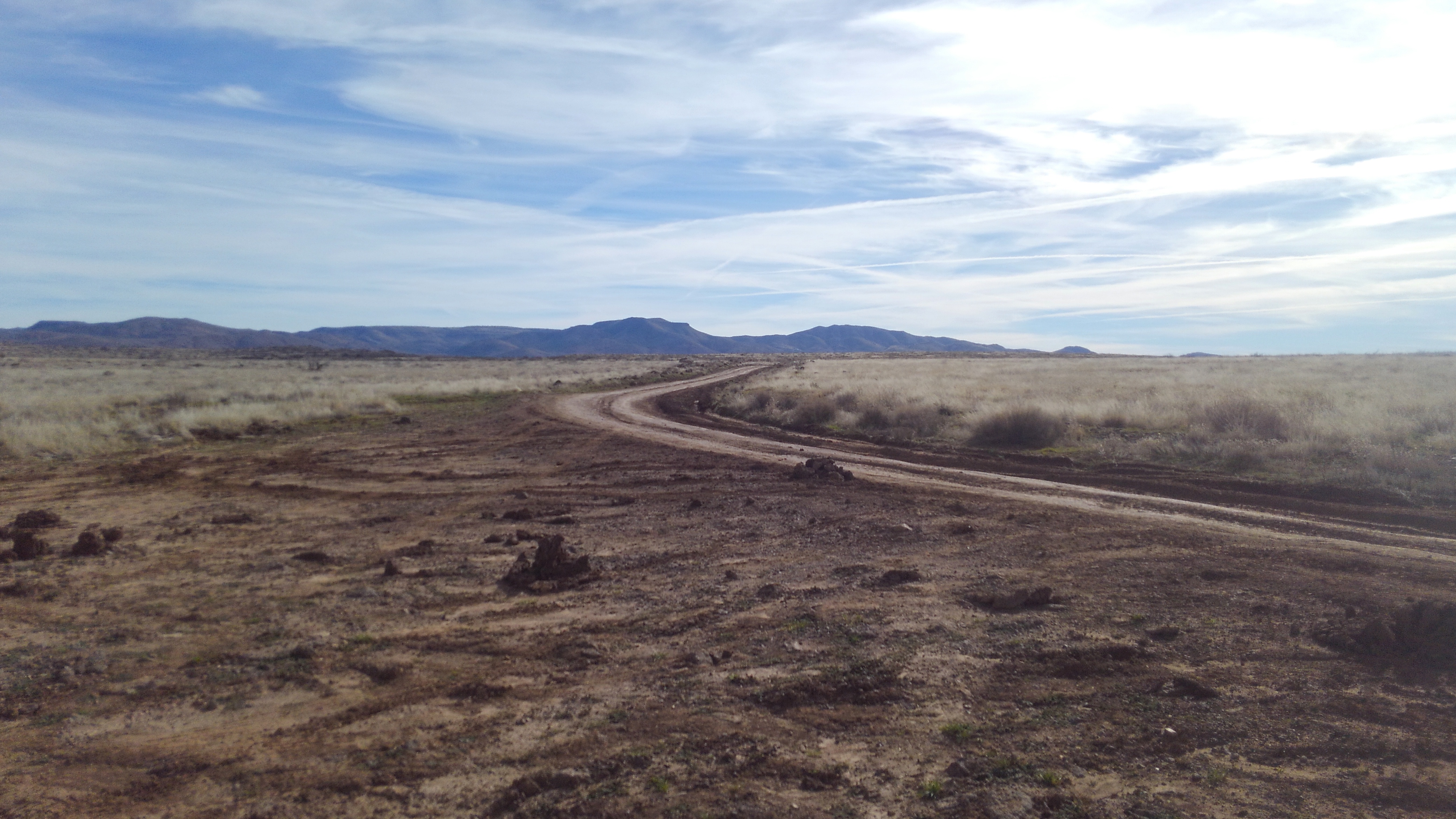
Bloody Basin Road will wind through some low, rocky hills, until it crosses the Agua Fria River near some grandfathered private ranch land. Just past that point you will hit a pull-out with a informational sign and, more importantly, a vault toilet.

On any weekend with good weather, such as the one we chose, many ATV’s will buzz around you. Bloody Basin is the main highway connecting the maze of dirt trails these things were built for.
It then winds up to the top of the mesa to cross a flat of desert grassland.
We pulled off on a side road here as an excuse to test the jeep’s 4WD. We didn’t really need it, but my son had yet to put the jeep in that mode, and it did make some patches easier. Our “primitive” road was a straight shot across the plain, terminating just shy of a canyon dropping back towards the Agua Fria. The sign read Route 9022, but the map has it as 9202.
The high desert here has all the high desert critters, including scorpions and rattlesnakes. If you get far enough away from the ATV traffic, you might encounter deer or javelina or even desert bald eagles.
Also common across the monument are native American artifacts, ruins and petroglyphs. According to BLM:
Archaeologists call the late prehistoric people who lived on the mesas between A.D. 1250 and 1450, the Perry Mesa Tradition. It is estimated that at least 3,000 people inhabited settlements in areas that are now visited only occasionally by ranchers, hunters and hikers. Remnants of stone pueblos, some containing more than 100 rooms, represent a system of communities with economic and social ties. Pueblo la Plata, a large settlement of 80 to 100 rooms, attracts many visitors.
One of the reasons behind the establishment of the monument was preserving these remains.
We visited none of them. We kept going south into the Tonto National Forest.
Bloody Basin Road continues into the Tonto and down to Sheep’s bridge, a narrow bridge across the Verde River built for exactly what you suppose. That last part is bumpier than most of the trail before, and worth it even so, but we didn’t go there either.
The road Y’s near the boundary, the spot marked by a kiosk at about 22 miles from the I-17 exit. . We went right at the Y onto Forest Road 24, AKA Seven Springs Road, AKA Cave Creek Road. We had some time constraints. I wanted to be in a bar in Cave Creek before halftime of the AFC Championship game. That was part of the deal.
The other part was my filling his gas tank, and covering his bill at the bar.
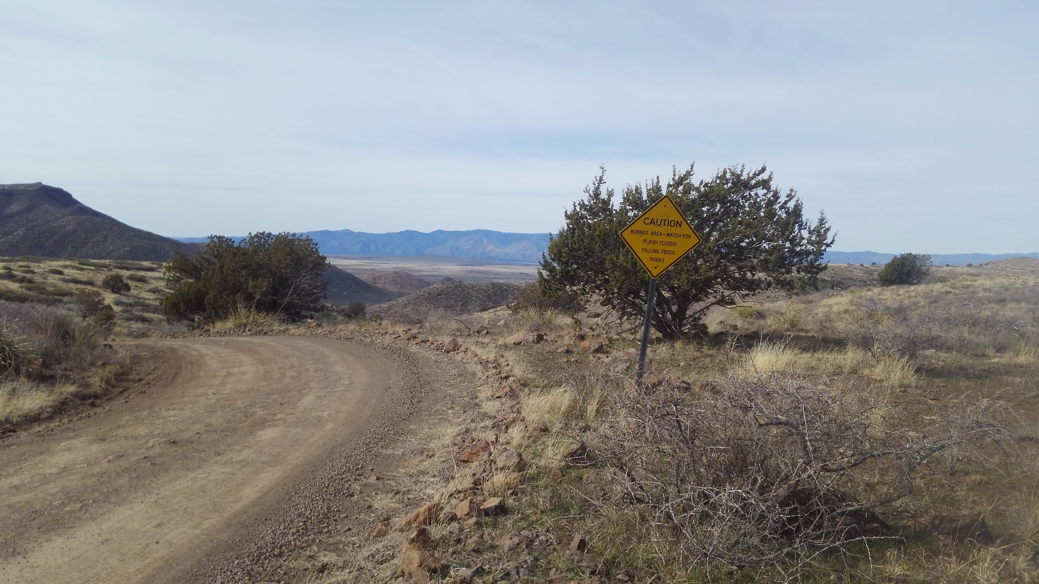
FR24 bounces over and around the ridges, circumnavigating Pine Mountain wilderness, and down towards Cave Creek the creek. Mid-way through the journey, you encounter the Seven Springs Recreation Area which features a day-use picnic area, a trailhead, and a campground all with a mile of each other, all built or at least started by the CCC back in the 1930’s. The trailhead has a vault toilet. The campgrounds are a fee use area. The picnic grounds are not accessible by car because the road kept washing out, so they stopped building one.
I spent a lot of time here writing my hiking guide for the Tonto National Forest.

From here you follow well graded by paper-clip turns through the hills and into the lower desert, finally reaching pavement, passing the ranger station, and hitting city limits of Carefree Arizona. Cave Creek road continues through the bars of cave Creek AZ, and across the low desert into Scottsdale and then Phoenix. It terminates at 7th Street and Dunlap, marking the center of Sunnyslope, for the geographic completists.
We didn’t go that far either. We stopped at a bar in Cave Creek, where the game went into overtime, and I had a few too many drinks as a consequence. But I wasn’t worried. My son was driving.
