For most people, Kingman, Arizona is not somewhere you go so much as a place you end up – or more likely just pass through as fast as possible. Parked in the northeast corner of the state at 3000’ elevation, Kingman is known mostly as a Route 66 stop, and the last reliable source of gas before the Nevada line on the way to Las Vegas.
(I know for a fact that I can fill my tank in Kingman, go to and drive around in Vegas for a few days, and make in back to Kingman on that same tank, thus avoiding the much higher prices in Nevada.)
As it happens, it has been a destination for me from time to time. There are a few wineries and a fine distillery, for one thing. I have also been involved in the various incarnations of the local book fair in one way or another for several years.
When in Kingman, in good weather, I prefer camping. Of course, Route 66 through Kingman is lined with a variety of mostly reasonable motels, but in the spring or fall, I’d just as soon sleep outdoors. The place to do that is 14 miles southeast and 3000 feet up from downtown Kingman.
This means that temperatures can be as much as 20 degrees cooler than Kingman or other points below.
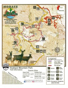
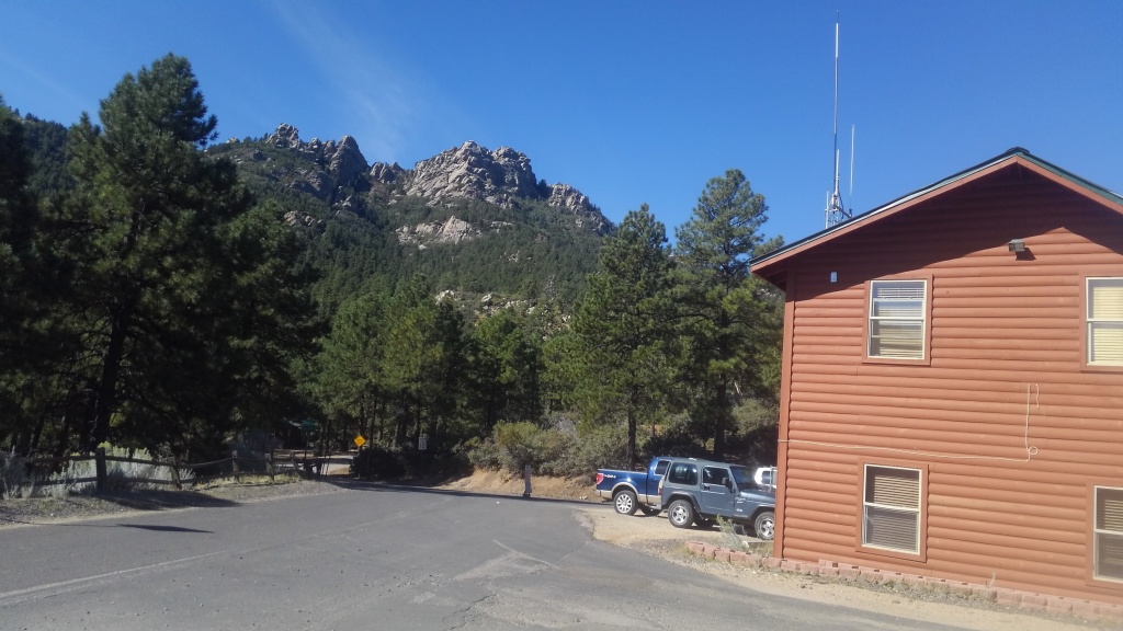
Hualapai Mountain, with settled areas between 6000-6500’ elevation towers over the high desert that surrounds it. Most of its multiple peaks are within the Mojave County Park of the same name. Surrounding this are the cabin community of Pine Lake, and a scattering of BLM land. Both the county park ands the BLM portions host campgrounds.
Hualapai Mountain Park Campground
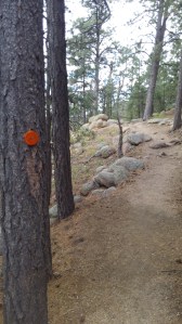
The county park campground winds across several ridges and valleys inside the park. The main campground is a maze of narrow but paved roads winding past tent sites, cabins, and even a small RV lot. The top end of the maze is a trail-head for the extensive trail system that meanders up and around the peaks. We’ve written about those trails elsewhere.
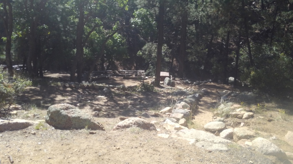
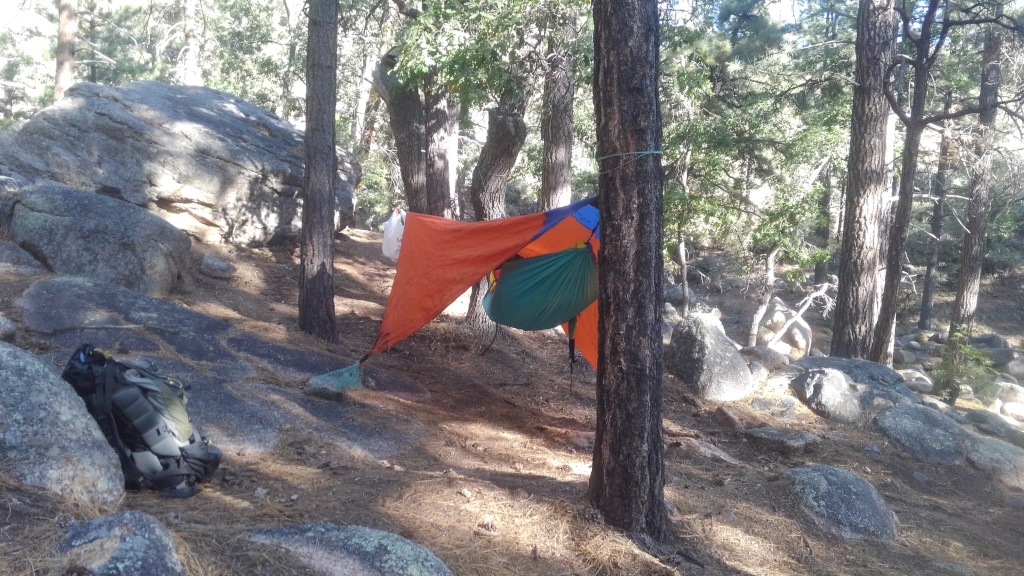
If you make the sharp left turn at the ranger station, past auxiliary parking and the lower group site, you reach Pine Basin, whose unpaved and marginally graded maze of dirt roads reach some primitive tent sites. A few are flat, gravel pads on top of the ridge, but most sites are tucked inside the jumble of granite boulders that fill the basin beyond.
Pine Basin is where I am most likely to hang my hammock.
Most campsites have a stone table, a fire pit of some sort, and are within sight of a plastic outhouse. Not all of the stone tables are in good repair. Not all the fire pits are official. There is no water and trash service is limited to containers near the entrance. You can reserve cabins and even RV pads, but all tent sites are first come first serve. You pay your $20/night (cash!) and take your chances. Even so, they are not likely to fill up.
I chose this campground first because 1) I did not know about the BLM campground at first but 2) I had business in Kingman and the BLM campground adds 15-20 minutes to the trip – one way. But if I didn’t need to be in Kingman in the morning, I’d just as soon keep driving.
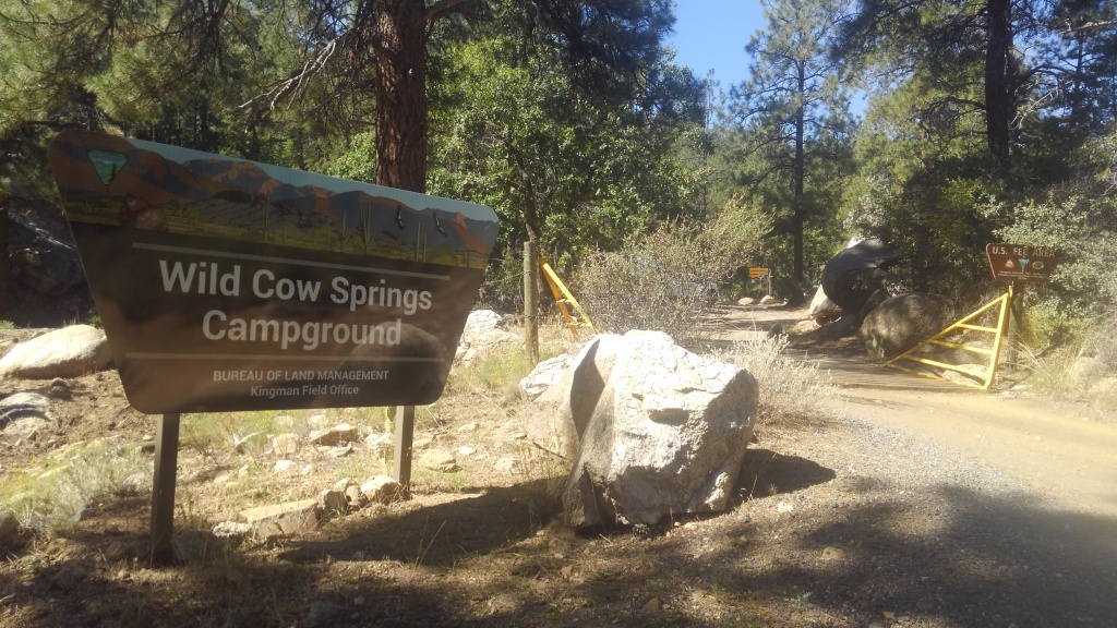
Wild Cow Springs Campground
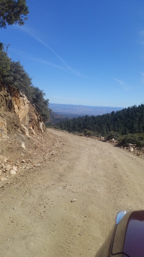
Let’s dispense with a myth: you can totally get to Wild Cow Springs Campground with any high clearance vehicle, in good weather. The road beyond Pine Lake is signed “Chains and 4WD only” but that is for snow-time. In the summer, the road is thin, and occasionally bumpy, but is mostly well-graded dirt. Higher clearance is helpful, but mostly you just need patience and nerve.
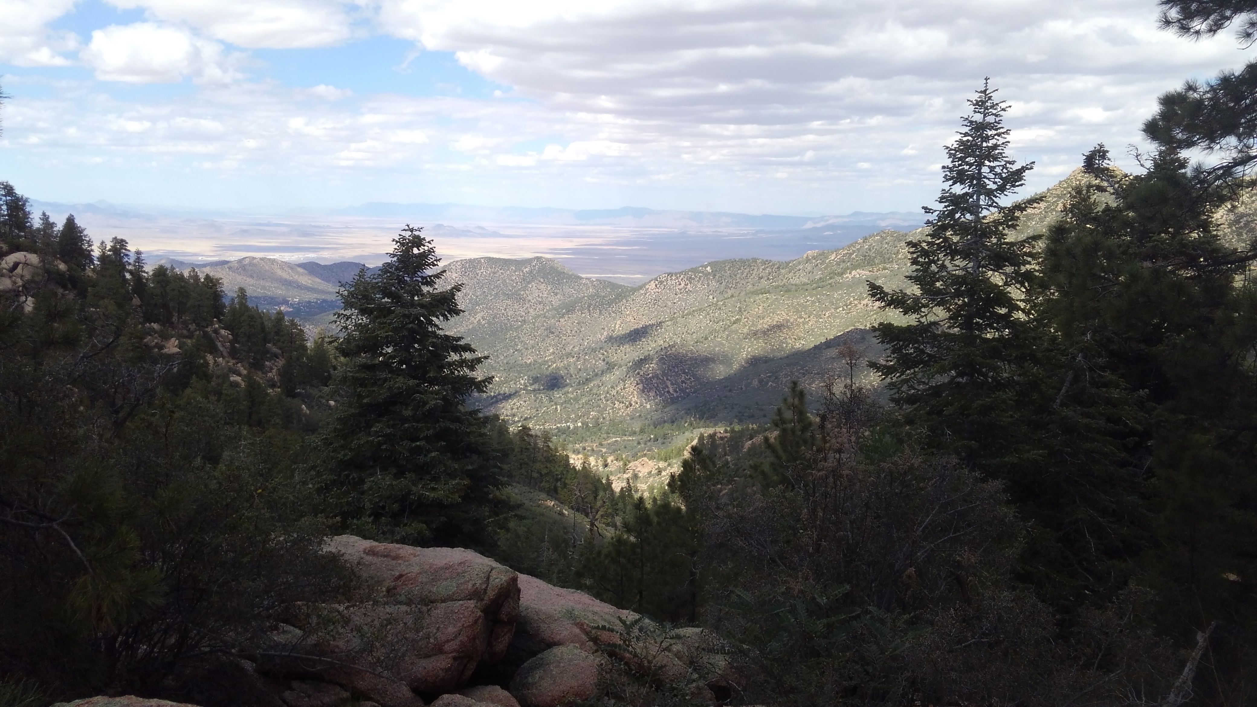
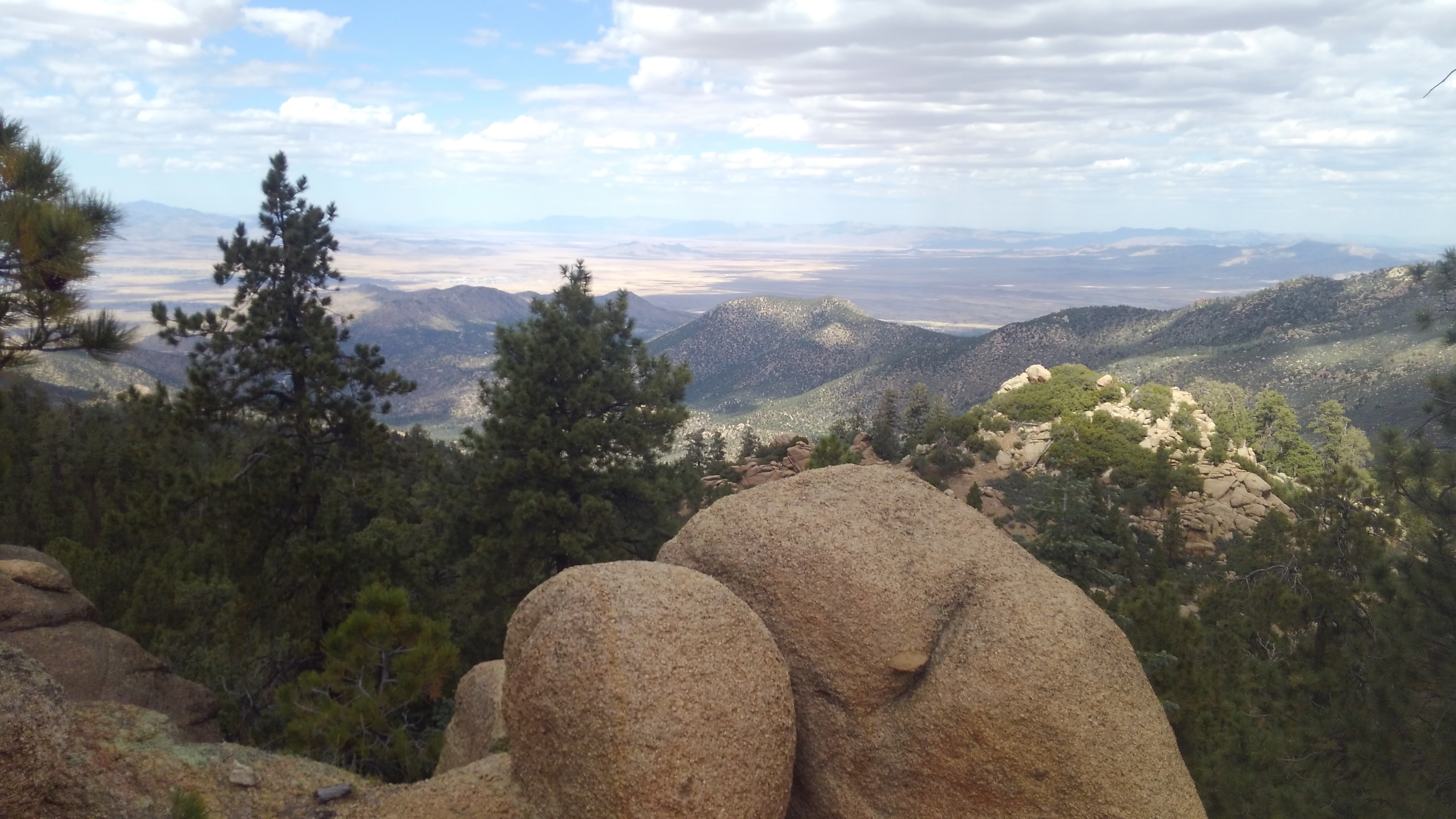
The road beyond Pine Lake is sharp and steep and it will take you the better part of 15 minutes to cover the four miles of up and down and around until you reach Wild Cow Springs. The road is well signed, however, so there is not much fear of getting lost. The sharp altitude difference guarantees some wide views of the desert below.
(The road continues well beyond, becoming a tangle of backroads, and you are on your own with that.)
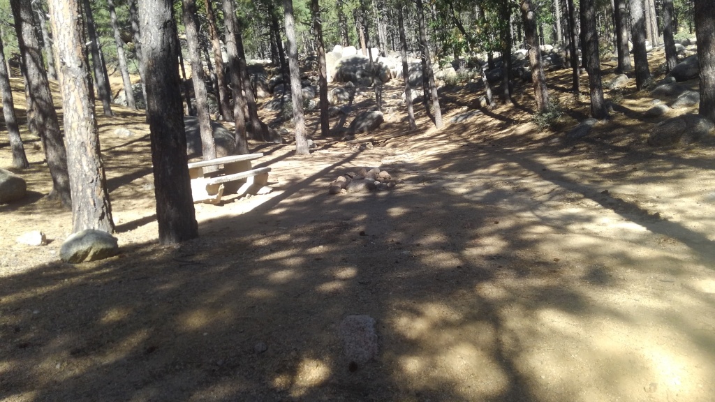
I have seen people get small trailers into Wild Cow Springs, but it is mostly tent sites. There is a string of sites, in fact, that are a good walk from the road, following a stone-lined hiking trail across the little ravine there.
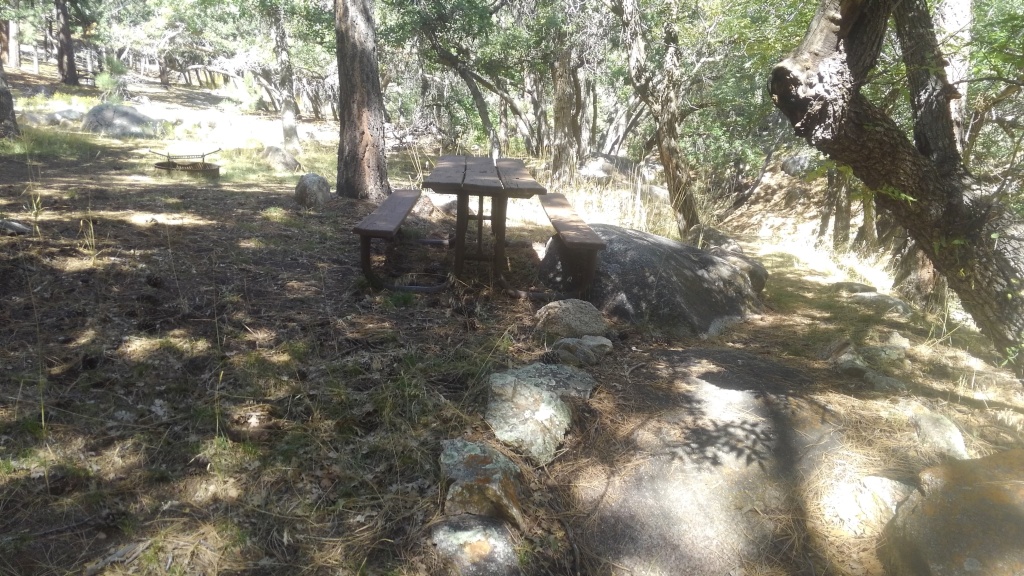
All the sites have wood and metal benches and metal fire-rings with grills. The front of the site features vault toilets. The site has some trash service, but no water supply. The fee though is $8/night.
There are, in addition, a larger RV park, and a resort (with a restaurant and a store) close to or within Pine Lake, but those are a little too civilized for this blog.