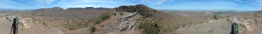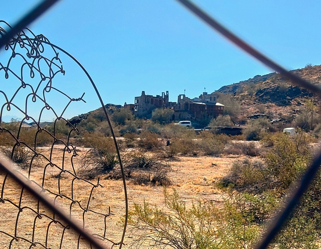
If you drive south on 7th Street until it hits South Mountain then make the left on Mineral Canyon Road, you will find Mystery Castle. Like many cities, Phoenix has a few bits of inexplicable architecture, some of which is open to the public. Mystery Castle was one of those places until the pandemic.
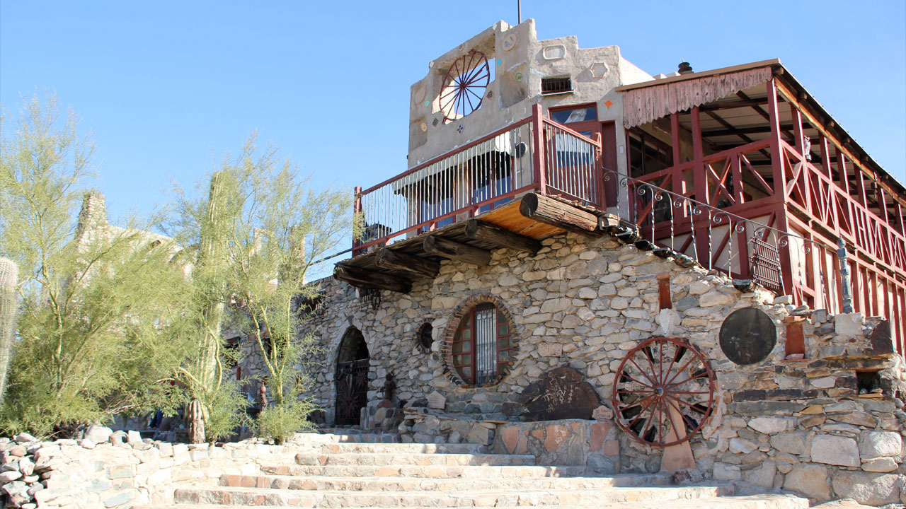
Boyce Luther Gulley, who built this thing, without any notable training in construction or architecture, moved to the Valley for familiar reasons: tuberculosis, and a nasty divorce. He acquired the 7 acres at the base of the mountain in 1940 and began work on his fever-dream of a house using found materials and often his own labor. He kept at it until his death in 1952.
His daughter, Mary Lou Gulley, inherited the castle, resided in it, and opened it up as a tourist/event location, and continued like this until her death in 2010. It passed to a private foundation, the Friends of Mystery Castle, but they were not able to cope with the pandemic and vandalism and the property has been closed for several years. It was finally put up for demolition.

Enter the Candy Man.
I met the Candy Man at a community forum at the South Mountain Library on May 2nd.
First, he was introduced by R Brooks Jeffery, the consultant hired by Friends of Mystery Castle as a consultant to manage the vetting of new ownership for the castle. The overall goal he explained, with supporting power point slides, was to find an owner willing to transform the property into a “publicly accessible asset”.
They needed someone with a:
- Plan
- Track Record
- Resources – meaning money.
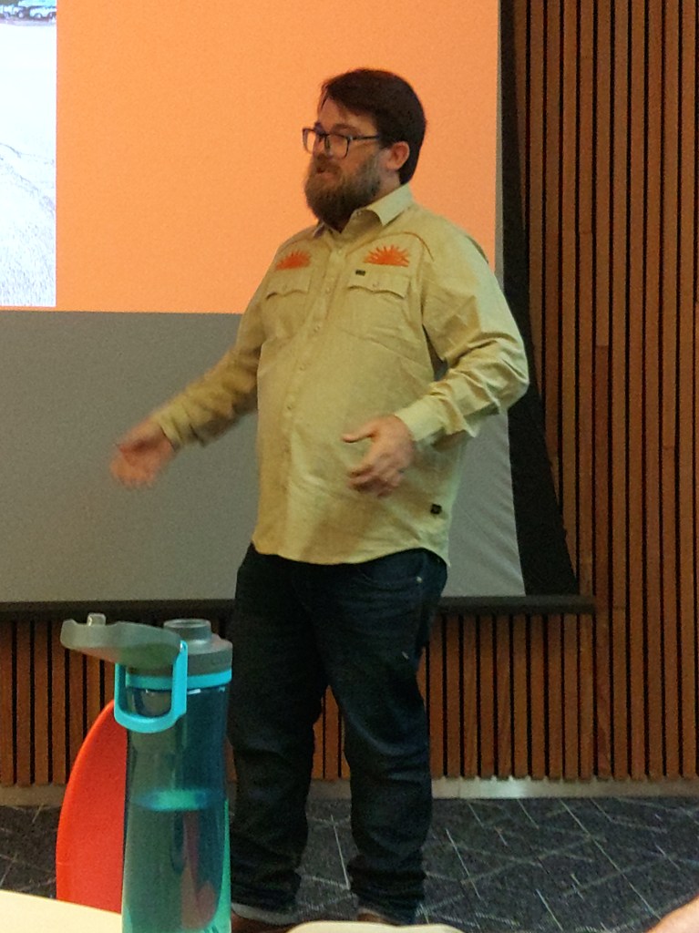
The found themselves a candy man – Eric Harrell, scion of a small candy fortune, and on the side restorer of old things. He bought the property in early April. He has previously resurrected such properties as 911 Vineland in Phoenix, the Grand Theater and Gadsen Hotel in Douglass and the Butterfly Inn in Sedona because “I always love historical stuff…”
Harrell expanded, “For this to work there has to be some kind of homogeneous terra firma with the surrounding community.”
His plan:
- Restore the Castle to a tourable house/museum
- Convert part of it to a guest house for an artist-in-residency
- 9000’ sq event center/marketplace
- 4-6 rental cabins, 2 bedroom about 600’sq.
- Parking for above.
- Onsite caretaker.
- Preservation measures for the existing rock art at the east end of the property.
They are in the survey phase.
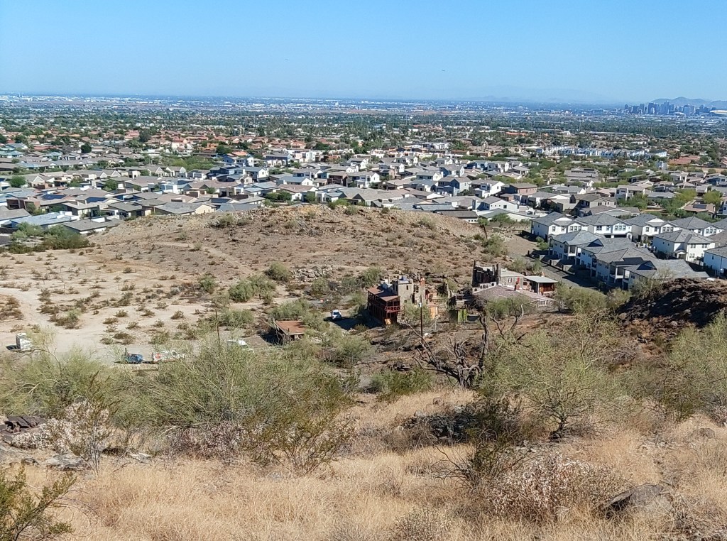
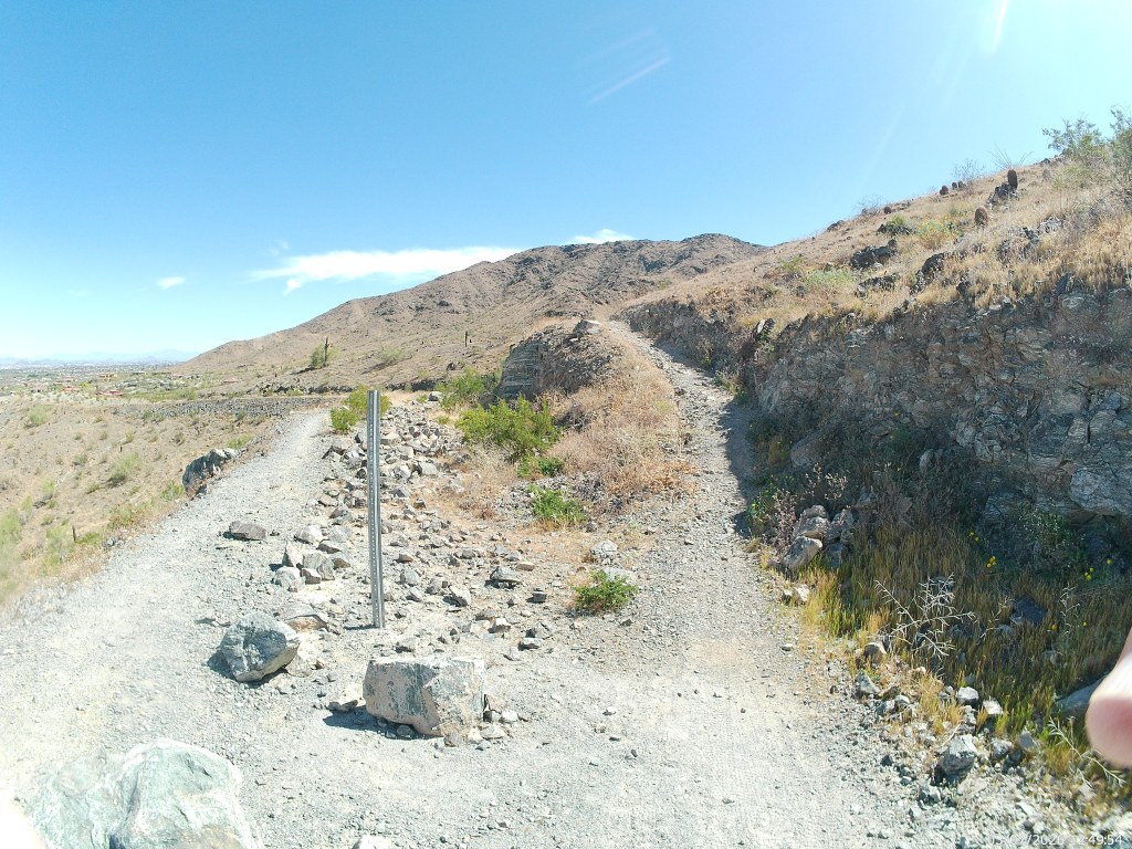
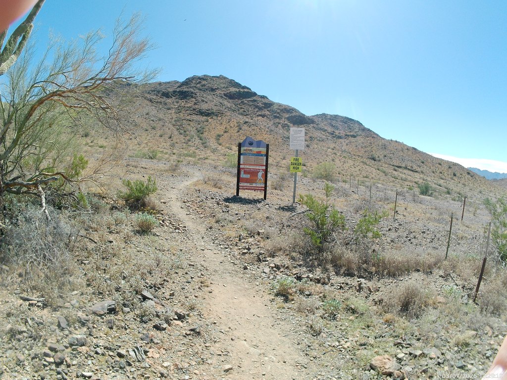
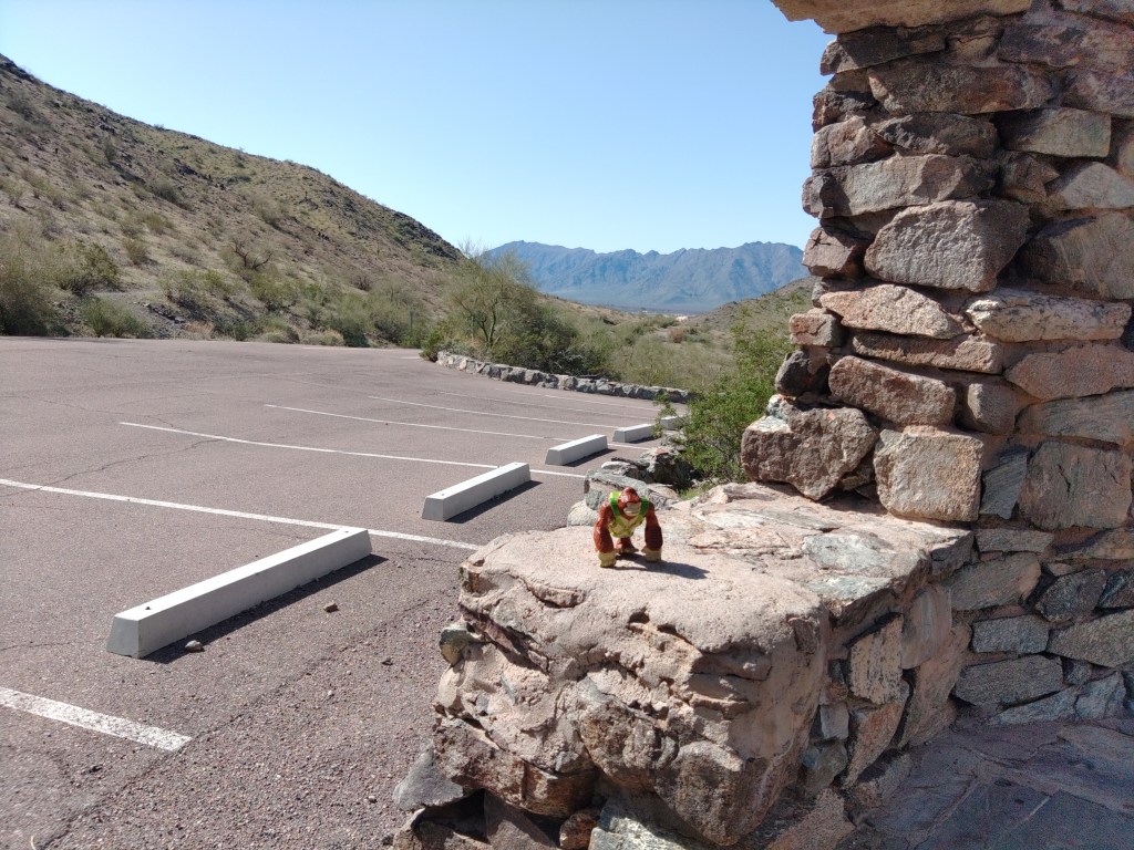
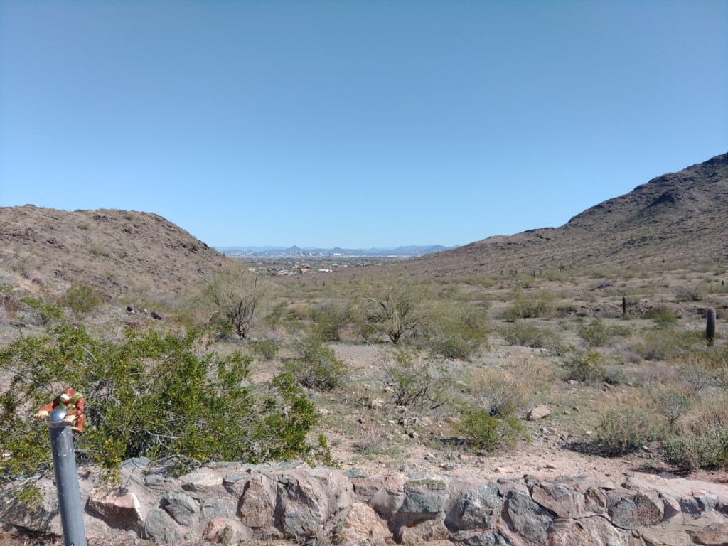
The Q&A that followed Harrell’s ad-hoc presentation centered mostly on the residents of the local housing developments worried about parking overflow from the Mineral Springs “trailhead”. Harrell had no answer for that other than he might open some Castle parking for that purpose.
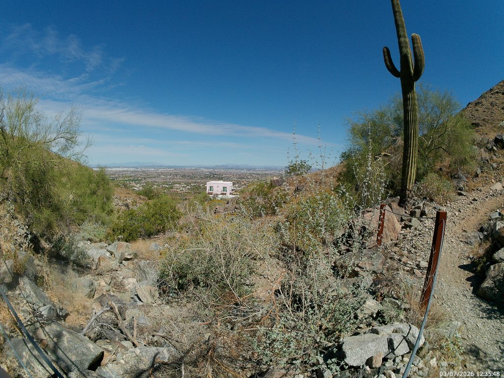
Phoenix Vice Mayor, Kesha Hodge Washington, who also represents this area on the Council, was on hand and went to the front to provide a few non-answers for this ongoing and 100% city issue. The “trailhead” here is a different article.
It may be that Mystery Castle and it’s possible future parking provides that answer. But it doesn’t have to. That’s on a long list of questions about this property the answers to which are “we’ll have to wait and see.”