The Apache Trail has re-opened, and one hot September 2024 Sunday, my son and I found ourselves with no obligations we could not avoid. Being too hot to hike (daytime highs never sank below 95 the entirety of September in 2024) (God – I hope that’s a remarkable sentence in the future) my son suggested that I should drive.

Because the AC in my 2015 Subaru still works.
Thus, we found ourselves burning down the Superstition Freeway [US60] past Chandler and Mesa and east Mesa and Gilbert all the way to Apache Junction where you finally exit and go north on Idaho Road.
In about two miles, Idaho road forms a triangle with the Old West Highway and state route 88, otherwise known as the Apache Trail.
The park his triangle forms around is the beating heart of the great, sprawling trailer park that is Apache junction. I kid – it’s not really one super-massive trailer park. It is a cluster of large trailer parks separated by small strip malls. Keep driving.
There are several side trips accessed from this road, and we will append those links at the bottom of the article as we document them.
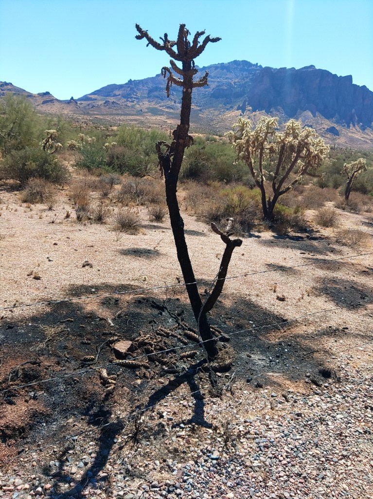
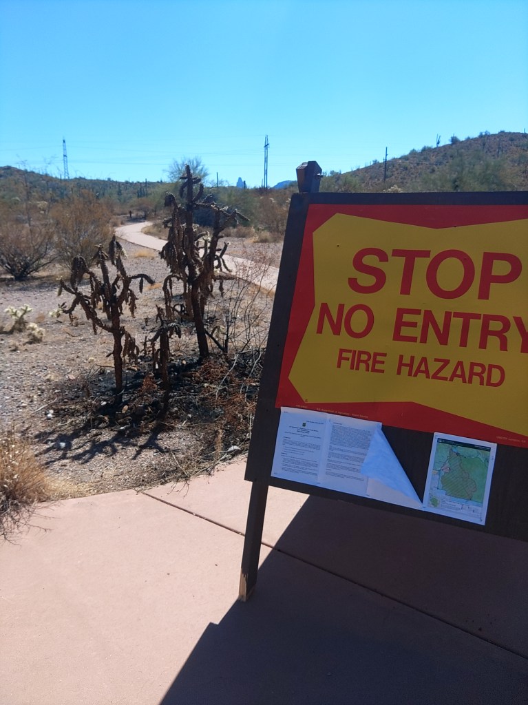
Apache Trail goes northeast, out of Apache Junction and along the edge of the Superstition Mountains – or increasingly, what is left of them. For behold, once you pass the Lost Dutchman State Park and the Goldfield “ghost town”, you enter Tonto National Forest, and more tragically, burn scar country.
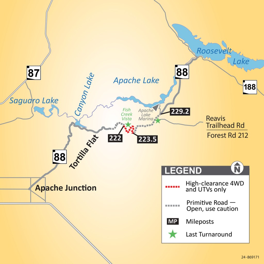
In June of 2019, the inevitable fire, called the Woodberry Fire, consumed almost 124,000 acres, much of it along this road. In September of that same year, monsoons dumped six inches of rain on the fresh fire scar and the resulting runoff damaged large portions of the road and left the stretch between Fish Creek Vista and Reavis trailhead impassable – for years.
Road maintenance, you see, unfairly heightens the tax burden of the rich. No- that’s not it. I mean, a majority of the Arizona legislature has said things like that out loud, but the other problem is that the Apache Trail, when it was open, saw less than 300 vehicles a day.
The Apache Trail has never been a thoroughfare. The northern terminus is a T with AZ188 along the south shore of Roosevelt Lake. Heading northwest will eventually get you to Payson, but AZ87 is far easier. Heading southeast will get you to Globe, but even the winding, two-lanes-through-tunnels US60 will get you there faster – usually.

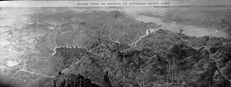
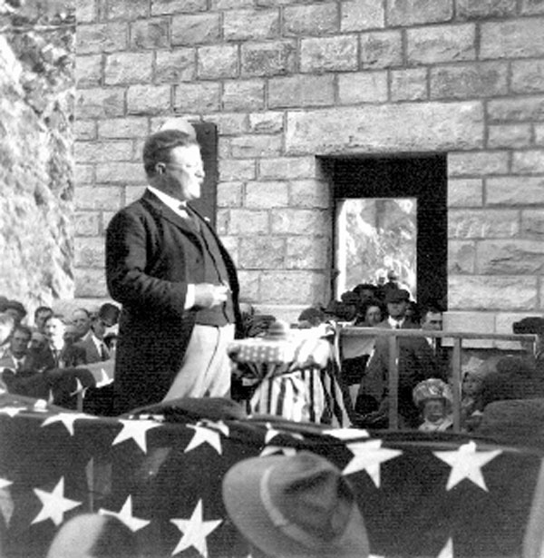
Apache trail was constructed, starting in 1903, as a supply road for what would become Roosevelt Dam. It gained its name from the large portion of the labor force that was Apache – including the ones who built the road.
For the most part, AZ88 follows the same route.
The southwestern trailheads into the Superstitions were still closed from fire damage as we drove past them. They may be for a long time. Fire is not part of the life cycle of the Sonoran Desert. It takes decades to grow back to where ecologists would feel comfortable again.
The road is still paved as it turns east to skirt the shore of Canyon Lake, which like most lakes in Arizona, is actually a reservoir. Every lake I mention in this article is actually a reservoir. You will pass some day-use boating sites, the marina, and then head back up the hillside towards Tortilla Flat.
Tortilla Flat is a bar/hotel/gift shop complex. On this Sunday, it was packed with bikers, and we decided we could wait until we got to Globe to eat. Given the line outside the restaurant, we might eat sooner in Globe. Your results might vary.
The trail climbs here and on top of the ridge you will pass Fish Hill overlook, which is worth a moment to stop and stretch. And there are vault toilets if you need. A short trail goes to a concrete pad with some visibility of the Salt River Canyon below. But the trail beyond that is not technically closed, and you can follow it to a more distant rocky knob with better views.
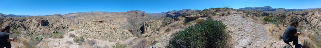
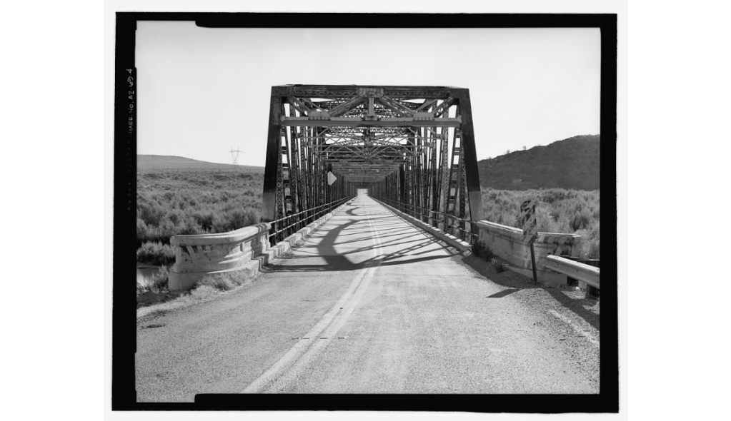
Past Fish Hill, you enter the recently opened heart of AZ88 as the road dips and winds in and out of Fish Creek Canyon crossing a couple of single-lane bridges. There is nothing here that cannot be traversed in a passenger car, if you take your time and pay attention – which you will want to do anyway- right? That is the point of taking this route.
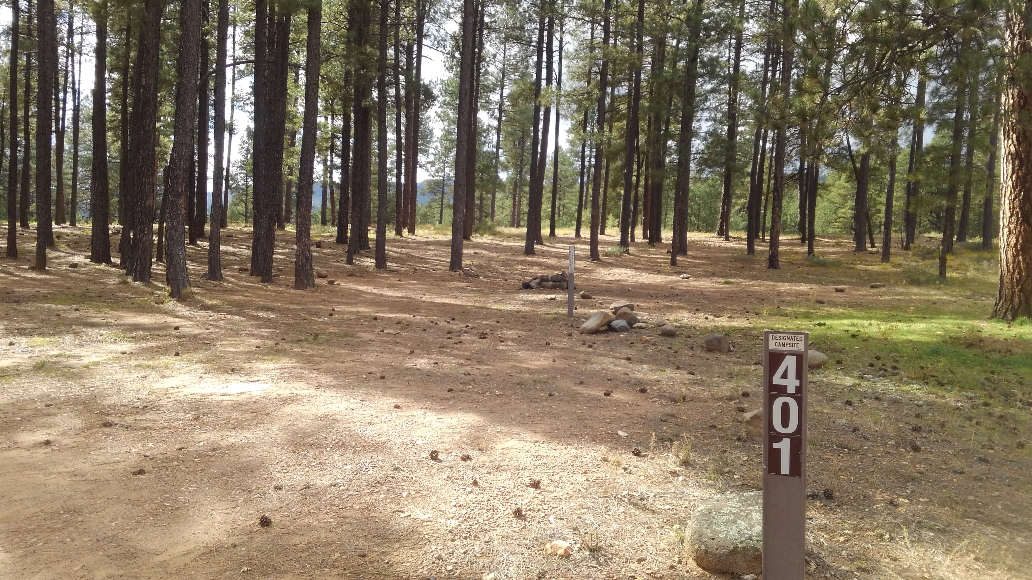
Over the ridge you pass a couple of scenic turnouts overlooking Apache Lake, and later Burnt Corral Campground. Past the campground, the road runs along the canyon wall, just above the Salt River, fat and lazy between dams until the biggest of the dams, Roosevelt, looms ahead.

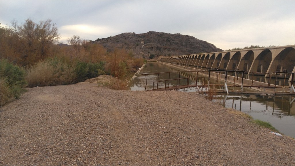
At the time it was constructed, 1905-1911, Theodore Roosevelt Dam was the largest masonry dam in the world, built from stones carved out of this very canyon and held in place by cement mixed on site. A whole village was built to accommodate the workers as they built the place, called Roosevelt, of course, most of which would be submerged by the very dam its inhabitants built.
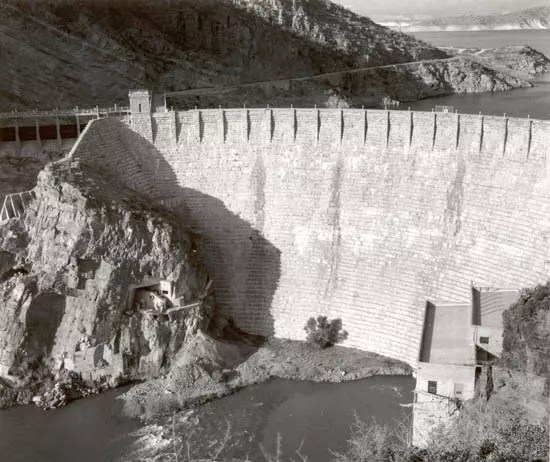
One of the first projects of Roosevelt’s new Bureau of Reclamation, it was one of the first hydro-electric dams of any scale, and created what was, at the time, the largest artificial “lake” in the world.
That lake stretches out before you after you wind up past the dam and reach the T intersection with AZ188, which runs across the southern shores of that reservoir. You will also pass plenty of pull-outs if you want photos of the dam.
This is Roosevelt Junction and the termination of AZ88. You are still a half-hour from Globe – so this was no shortcut. But still worth it.