Ma Ha Tuak Perimeter Trail – West

Properly called the Ma Ha Tuak Perimeter Trail, this western-most section winds around the slopes of the small mountain it takes its’ name from.  The full trail starts at the 19th Avenue trailhead (which I described here) and proceeds  west until it winds around the mountain to ultimately terminate with the National Trail a mile south of the San Juan Lookout.  The portion of this hike I’m about to describe makes about a 4 mile loop.

I was not fortunate enough to choose that rare weekend when Brigadoon appeared San Juan Lookout was open to vehicle traffic. So, we start from the Curtis Saddle Trailhead at the dead end of Estrella Drive just east of 43rd Avenue.  The short connector trail T’s with the Ma Ha Tuak Perimeter.

To the east [left] this trail will reach the 19th Ave Trailhead in about six miles. In about a half mile it passes the 35th Avenue “Trailhead” – which is where we turned around for the eastern half.  That wee section will remain a mystery for now. The trail straight ahead goes up and over the saddle to San Juan Lookout. That is our return. To start, we go southwest [right] .
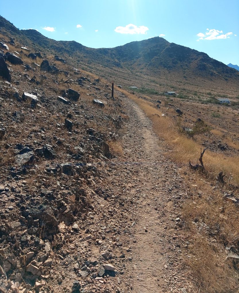
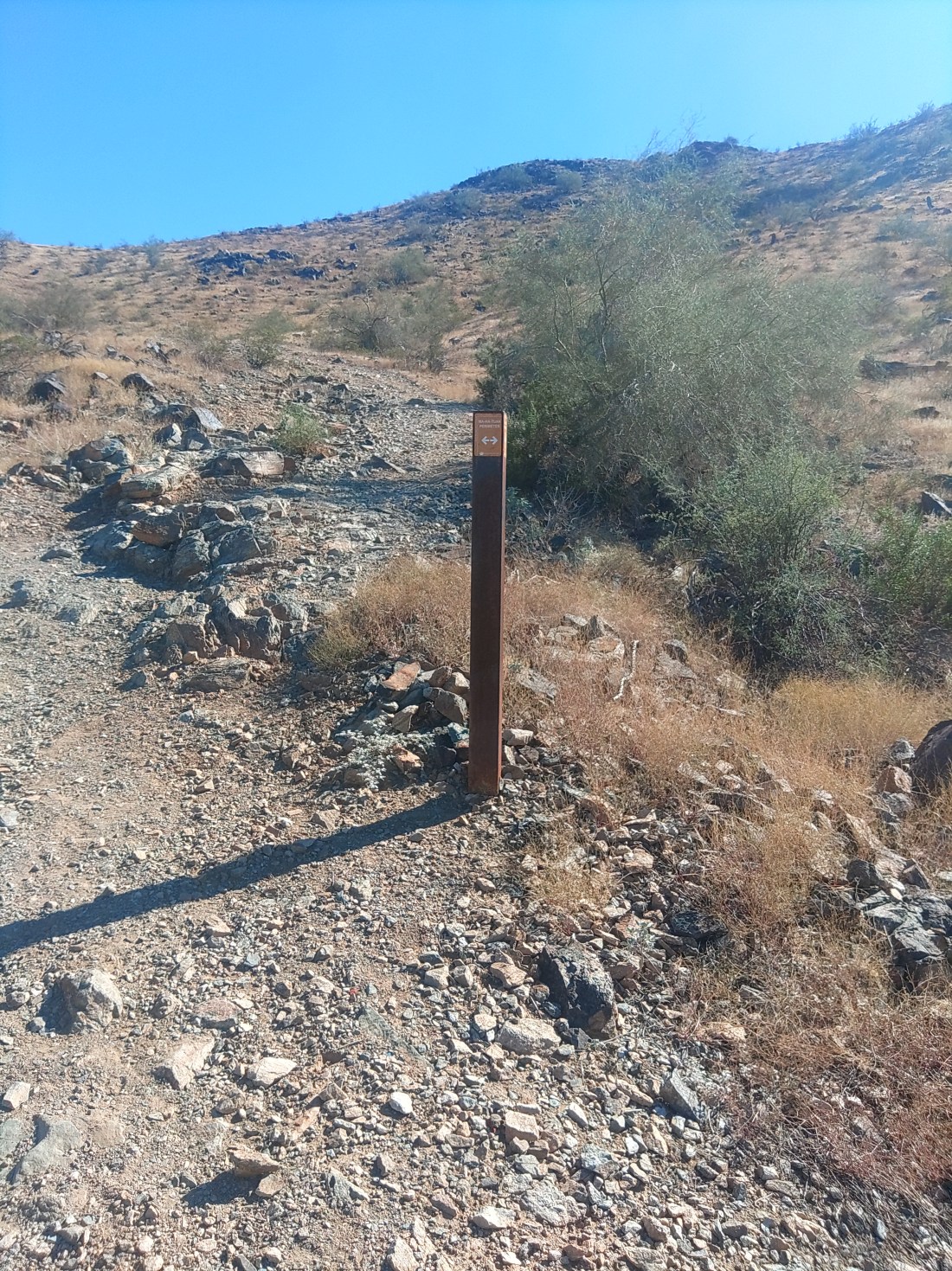
The trail for its entire run is new, mostly packed dirt single track winding around the slope of the mountain, with signposts every half mile or so – as if you need them. If you get lost on this hike, you should think about another form of recreation.

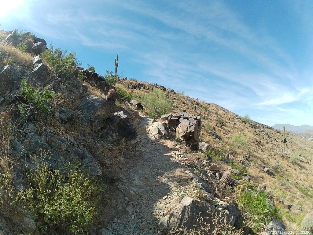
What will not happen is you being overwhelmed with natural beauty. Sure, there’s plenty of the usual cacti: saguaro, barrel, chain-fruit cholla, and a fair bit of ocotillo which is not as common elsewhere in the park. And a hawk circled over my head close enough it could have soiled my had had it been so inclined. All of that is to your left. To your right is Laveen then freeway then county island. Above any hawk traffic roars frequent airplane traffic.

This is a fine hike if you want a moderate difficulty you can do in a few hours with no wilderness skills required.

At about a mile (from where you parked) the trail curves to go northwest for a while until turning south around the end of the mountain. This portion overlooks some of the last actual working farms in city limits. Then it overlooks AZ 202.

If you hike in the morning, you might have some shade through the westernmost portion of the hike. I’m fairly certain this is the westernmost portion of the park reachable by established trail. As you complete the U turn around the mountain, you approach a county island littered with micro-estates. Just before that, you reach where the MHT merges with the Maricopa Trail.

A short connector trail winds southwest from the junction to a trail access point about where Ray Road bends into Dusty Lane. While there are no signs telling you that you can’t park on that easement, I lacked the nerve. Google will show you a road closer to that trail access, but that is actually a private driveway aggressively signed against trespassing.

The real purpose of this is to provide a connection for the Sun Circle Trail, a bicycle route that circumnavigates the valley. The Maricopa Trail is part of that, and the part we want continues forward (southeast). That trail takes you through a wash, over a low ridge and then across another wash after which you are heading east, back into the park.

You head east, past these astonishing large houses for just over half a mile until you come to the large white sand wash where mesquite trees will provide shade somewhere anytime the sun is shing. This is the best part of the hike.
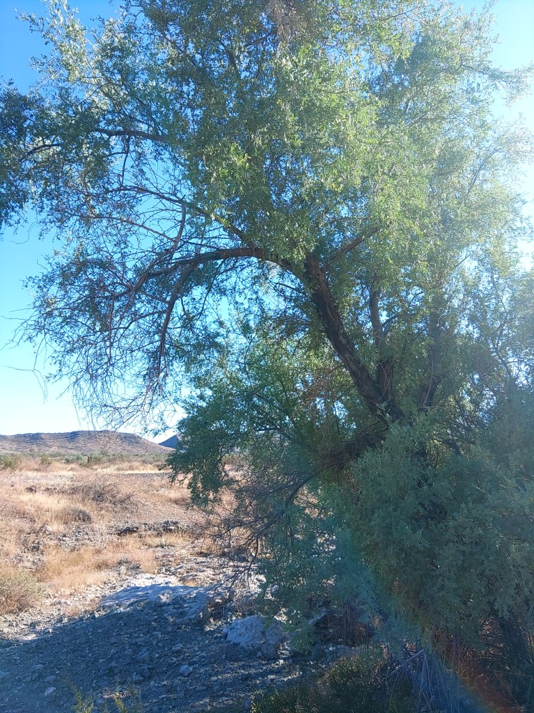
A thousand steps farther east and you cross San Juan Road to the T intersection with the National Trail a few more steps beyond.  Ma Ha Tuak and Maricopa trails both end here.

National Trail runs the length of the park. We want the short section heading north, [right] alongside the road, to San Juan Lookout/Trailhead.  You could take the actual road if that’s easier on your feet. It’s the same half mile.

The connecting trail going north from the lookout is not signed, but fairly obvious. There is a high path and a low path. The lower one is a few steps longer but may dip into shade.  They join each other well before they reach the intersection with MHK and the connector road that leads back to your car.

I did this approximately fur mile loop in just over two hours, in no particular hurry. Like all hikes in this park, this is a bad idea if the temperature is over 90 degrees, and illegal if its over 105.
The Hua’Pal Loop Trail

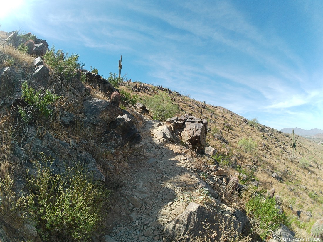
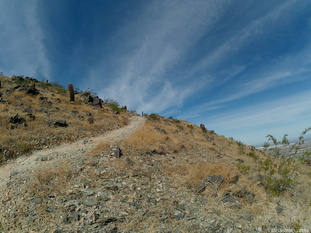
The Hua’Pal Loop trail is so new it doesn’t show up on City of Phoenix trail maps. Part of it used to be the Ma Ha Tuak Trail (not to be confused with the Ma Ha Tuak Perimeter Trail – which is also partly new) of the T-bone trail depending upon which map you are looking at. The other half charges straight up the mountain – and that’s where we start.

This article is part of an ongoing series about hikes in the South Mountain Preserve.

The trail starts and ends with a white plaque describing how the trail was named for the O’odham word for red-tailed hawk. You might see those. You are more likely to see lizards and bugs and wrens.

From the 19th Avenue Trailhead (parking, garbage cans and a drinking fountain  – no other services) we went counterclockwise, meaning starting with the west leg on the right. I prefer to frontload the hardest climbs.

Climb this does, moderately up the arroyo and the ridge that supports it, then across a small saddle and then steeply up the basalt slopes of the Ma Ha Tuak range proper. I had to actually use my hands in a couple places.

Throughout its course, the Hua’Pal Loop is well defined, well laid out and well marked.

Despite the climb, or perhaps because of it, this is popular with trail runners.  The west leg climbs around a thousand feet in about three-quarters of a mile. That’s a lot of cardio in not a lot of time – which suits them, I suppose. It took me an hour or more to get to the one spot of shade, a towering basalt boulder near the top. At least four trail-runners had gone up and back since I started.

Even without the cardio, the climb is worth it. What all the turn-aounders missed was the trail heading east along the top of the range.

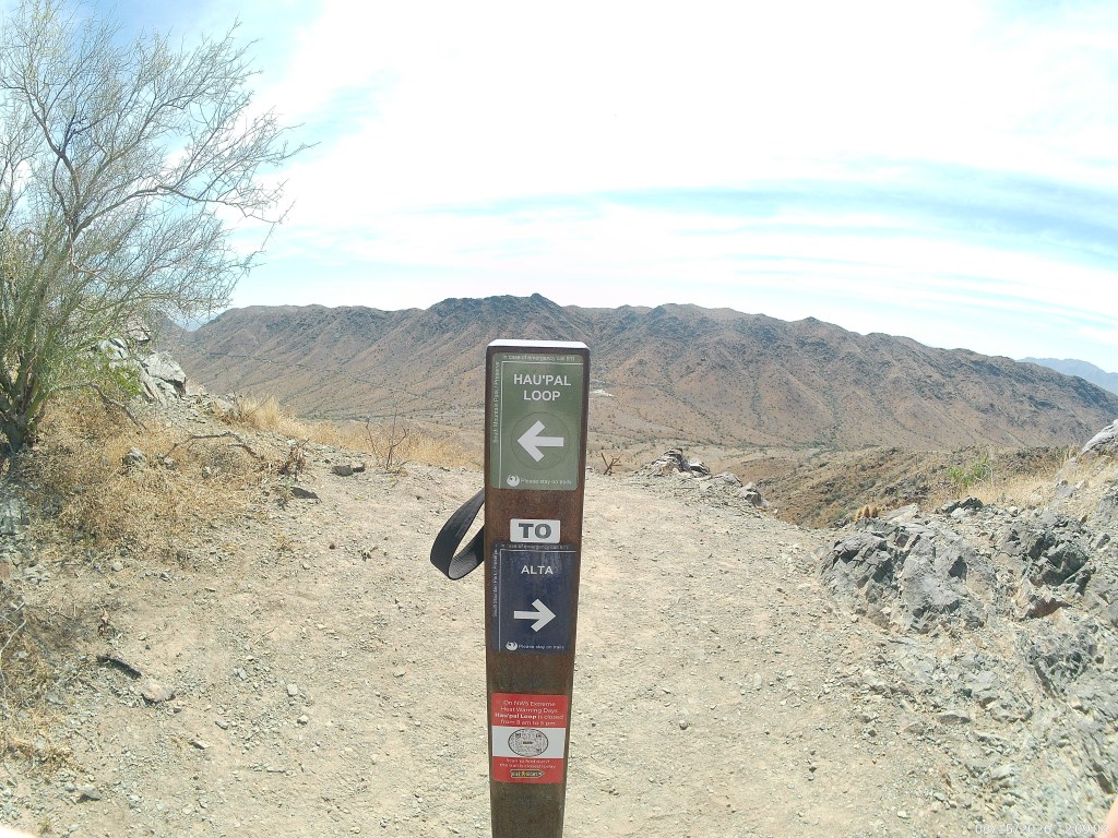
When you first reach the top, you find a T intersection. The thin trail to the right (west) connects with the Alta Trail, which does largely the same thing only longer and over there.  If you were to combine these hikes, and use either the Bajada Trail or the Ma Ha Tuak Perimeter Trail to complete the loop, that would be high adventure, so to speak,  and you should pack a lunch.

The Hua’Pal Loop is only a couple of hours.

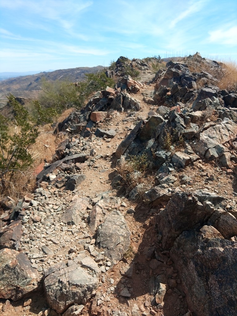
For the next three quarters of a mile, it is also easy single track across the top of the range wih all of Phoenix to your left (north) and the San Juan Valley, and the Gila range beyond to your right (south).  Take you time here. This is the good part.

At the eastern edge of the range the trail bends south then back east as it winds it way towards the wide bare dirt junction with Crosscut Trail. Crosscut Trail will take you to the Big Ramada Picnic area in less than a mile. Those are the nearest restrooms. But you are also less than an hour from the trailhead.

From the Crosscut Junction, you are following what used to be the Ma Ha Tuak Trail as it winds north down the slopes and back to the trailhead.

The entire Trail is about three miles but it will feel like five because of the elevation gained and lost. It took me three hours – but I rarely hurry

Like many South Mountain hikes, it is a terrible idea to do this if the temperature goes over 90 degrees.

In cooler weather – totally worth the calories.

A few notes from the Overland Expo

Full disclosure: I am not actually an Overlander guy and I doubt I would become one even if I had the money. It just doesn’t take that much to get off of the beaten path. However, many others see it differently, and the market that emerged from this worldview created the Overland Expo which was recently encamped in Flagstaff.

https://www.overlandexpo.com/photo-gallery/overland-expo-west-2025-friday-photos/

My wife and I went, and while we paid to shop, essentially, we had a discount through some means I do not recall.

Amateur but veteran tip: we parked at NAU and took the bus in, and this was little trouble. Especially compared to a previous year where we spent so long hiking in from our found parking space that we essentially missed the event.

This is not a detailed review of what is a giant outdoor mall for people who want to see the great outdoors from the window of their expensive vehicles. We found a few cool things, and I record them here for my reference, but I share also with you.

More or less smallest to largest:

The Transcool portable evaporative cooler. A lunch-boxed sized evap cooler you can run from your car battery of other portable power. Or a wall outlet, I suppose. Couldn’t vouch for its performance in the humidity but the demo was blowing cold on a dry Flagstaff afternoon. https://transcoolusa.com/

The Aquaboost power station turns salt water to electricity, perhaps to power your Transcool for up to 12 hours, per their literature.  https://www.aquaboostpower.com/

Your state parks and local tribes are trying to save history – and they gave me a sticker, so I give them a plug. https://savehistory.org/

This is tangential to a previous post.

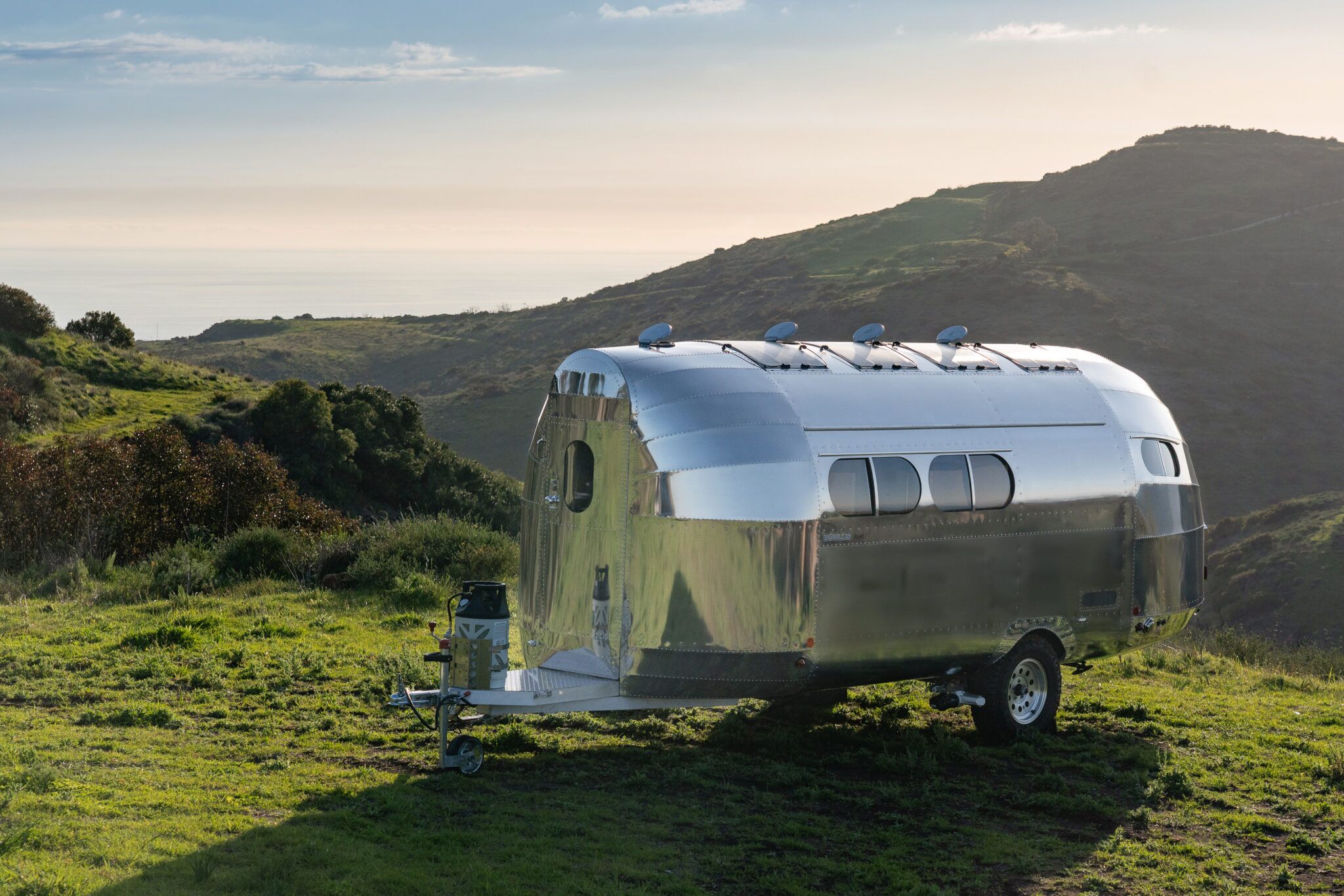
Finally, if money were no object, this would be the trailer I tow:

The Bowlus Rivet is an airplane fuselage disguised as a trailer. Our European host made us take off our shoes to walk inside the thing. Once inside we learned that while it has actually fewer amenities than trailers in its $150k price category ( you read that right) it is stupid lightweight for its size. That’s what you’re actually paying for. Sure the shower is clever, the other features are spare but well laid out, and thing outside is mirror-shiny, but what makes it worth it is the #2800 base weight. You can tow it with an SUV.

We would tow it with a cargo van – money being no object – for UnObtanium events. But we are not anywhere close to that kind of money.

Even so, it was fun to get out of the heat and daydream.