The Hua’Pal Loop trail is so new it doesn’t show up on City of Phoenix trail maps. Part of it used to be the Ma Ha Tuak Trail (not to be confused with the Ma Ha Tuak Perimeter Trail – which is also partly new) of the T-bone trail depending upon which map you are looking at. The other half charges straight up the mountain – and that’s where we start.
This article is part of an ongoing series about hikes in the South Mountain Preserve.
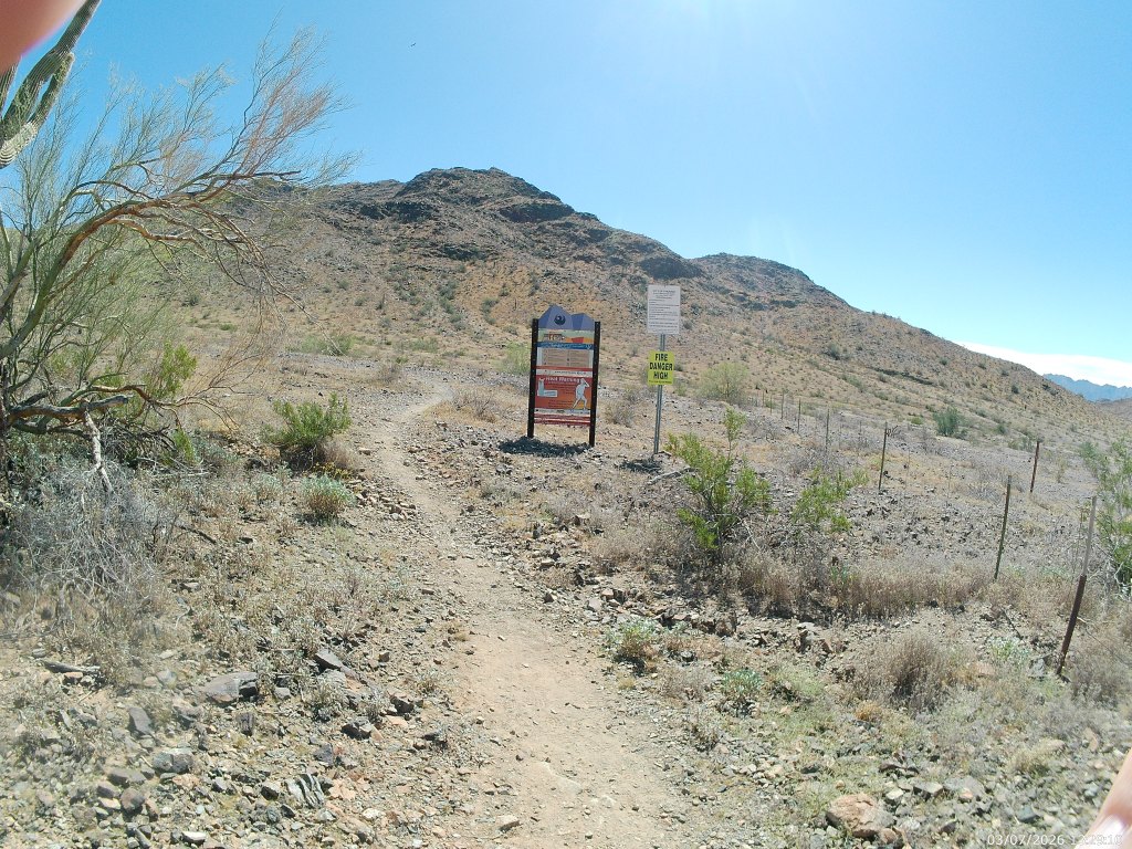
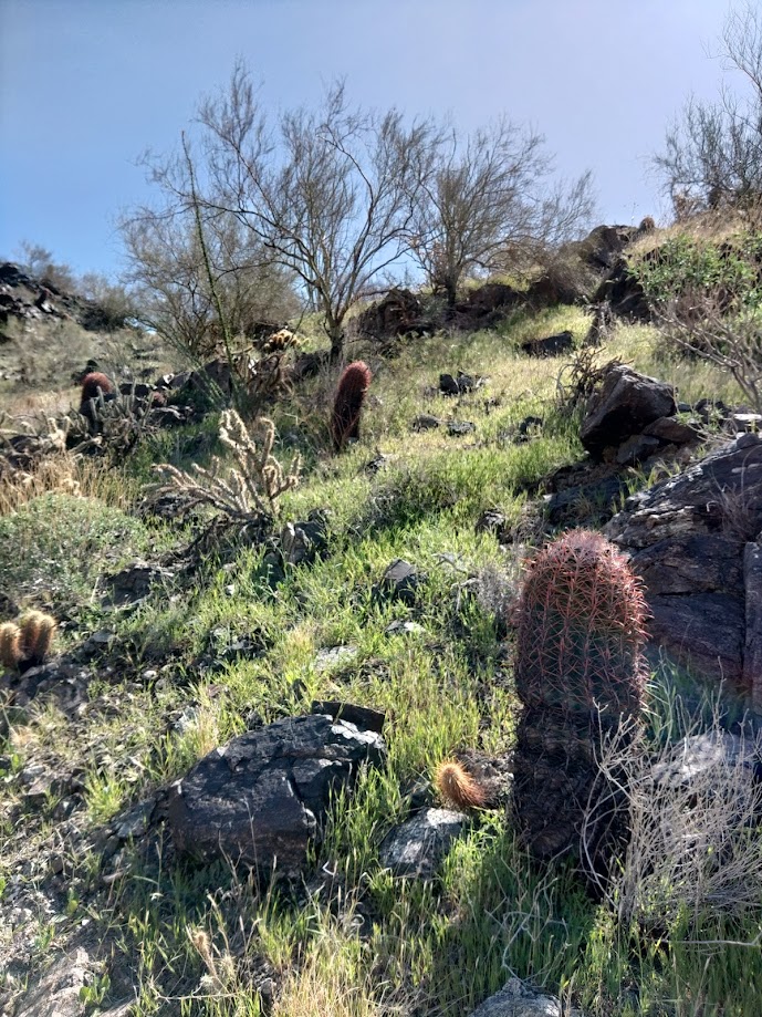
The trail starts and ends with a white plaque describing how the trail was named for the O’odham word for red-tailed hawk. You might see those. You are more likely to see lizards and bugs and wrens.
From the 19th Avenue Trailhead (parking, garbage cans and a drinking fountain – no other services) we went counterclockwise, meaning starting with the west leg on the right. I prefer to frontload the hardest climbs.
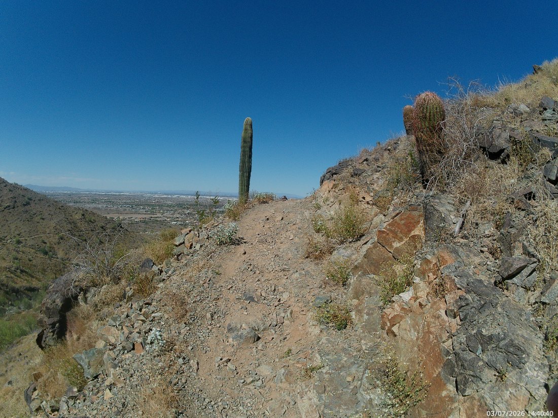
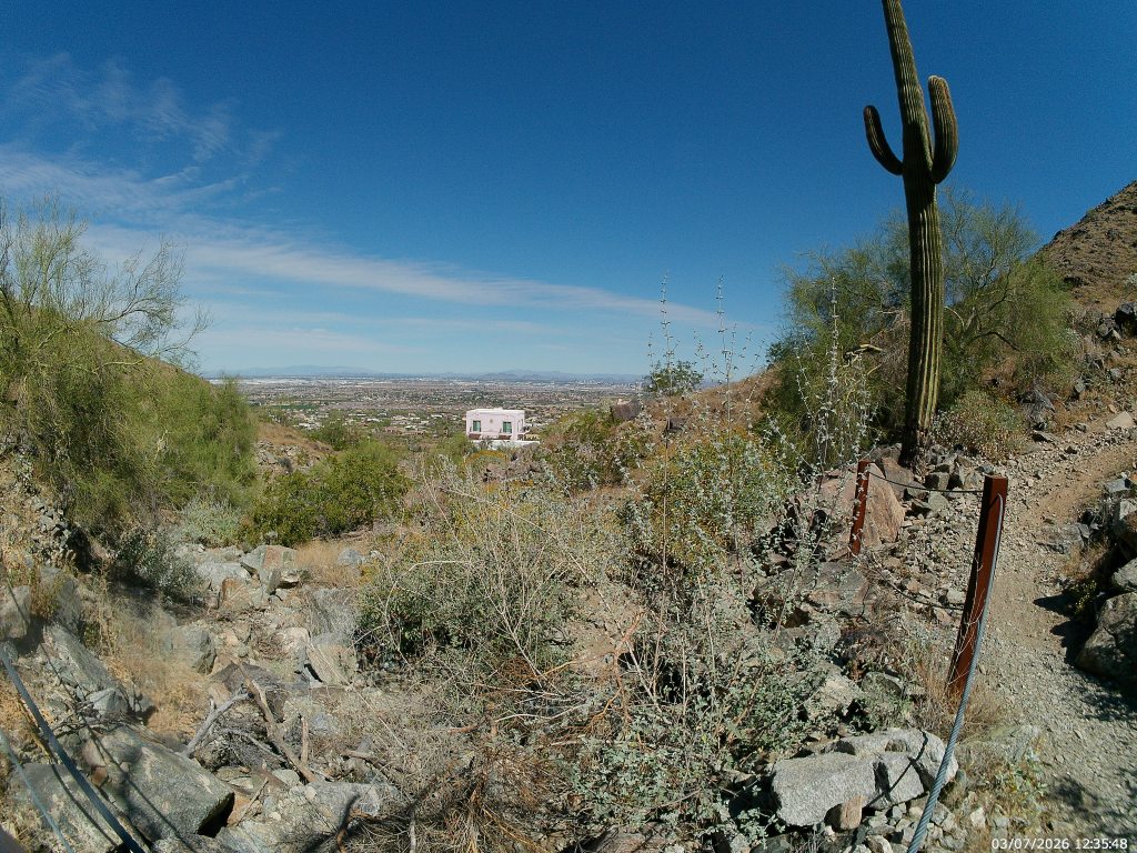
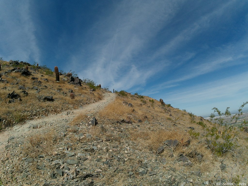
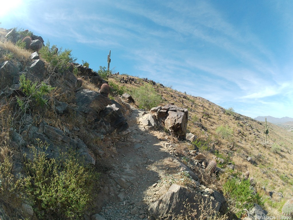
Climb this does, moderately up the arroyo and the ridge that supports it, then across a small saddle and then steeply up the basalt slopes of the Ma Ha Tuak range proper. I had to actually use my hands in a couple places.
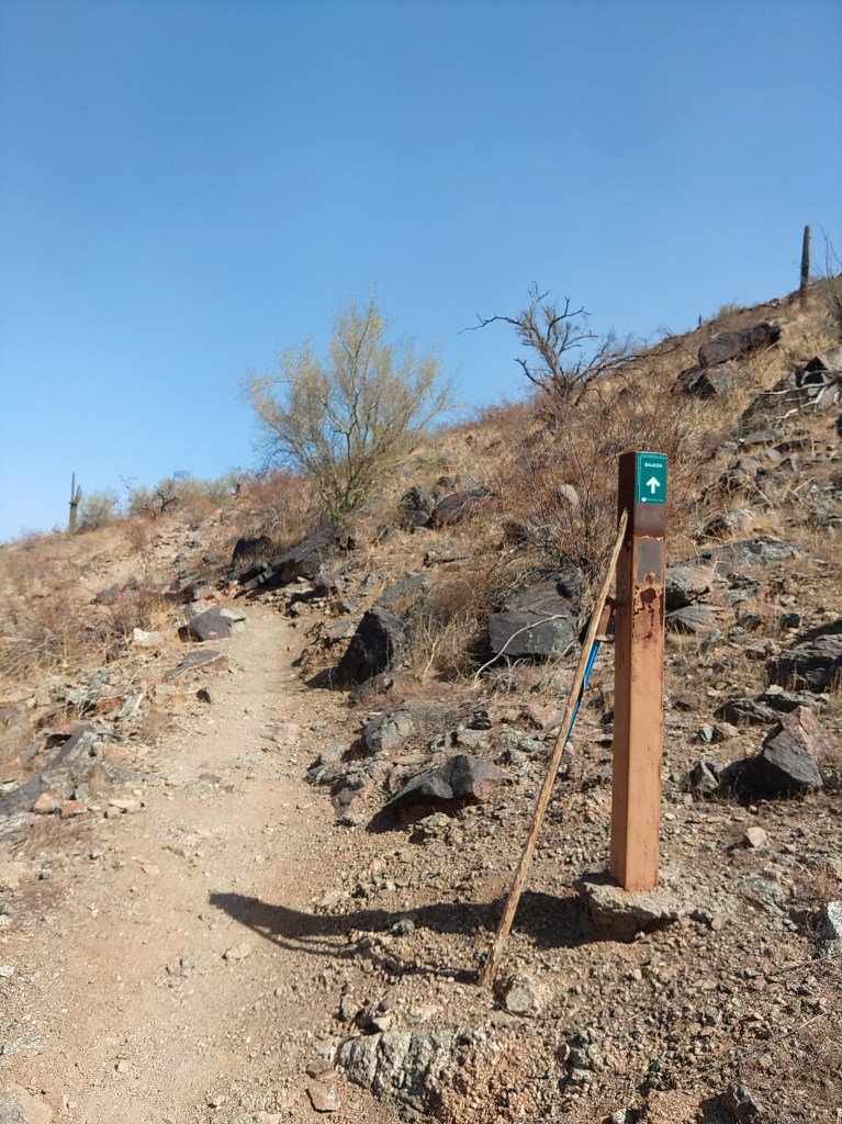
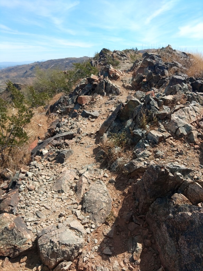
Throughout its course, the Hua’Pal Loop is well defined, well laid out and well marked.
Despite the climb, or perhaps because of it, this is popular with trail runners. The west leg climbs around a thousand feet in about three-quarters of a mile. That’s a lot of cardio in not a lot of time – which suits them, I suppose. It took me an hour or more to get to the one spot of shade, a towering basalt boulder near the top. At least four trail-runners had gone up and back since I started.
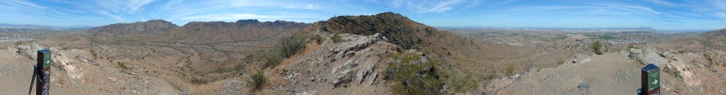
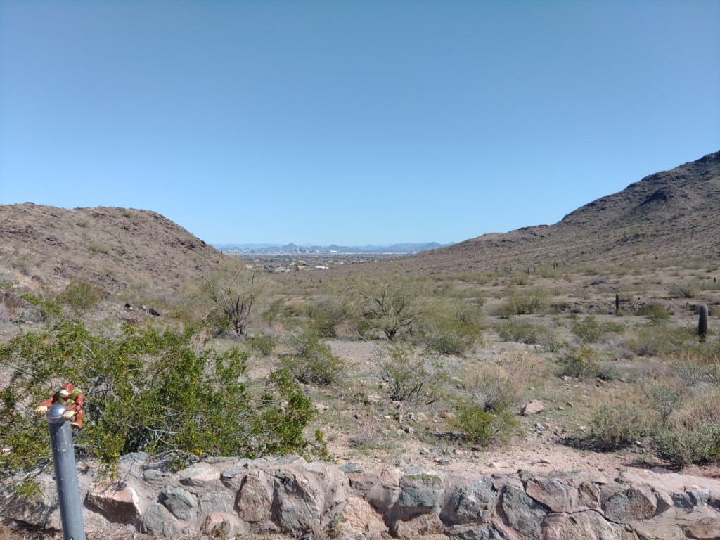
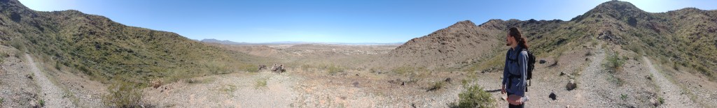
Even without the cardio, the climb is worth it. What all the turn-aounders missed was the trail heading east along the top of the range.
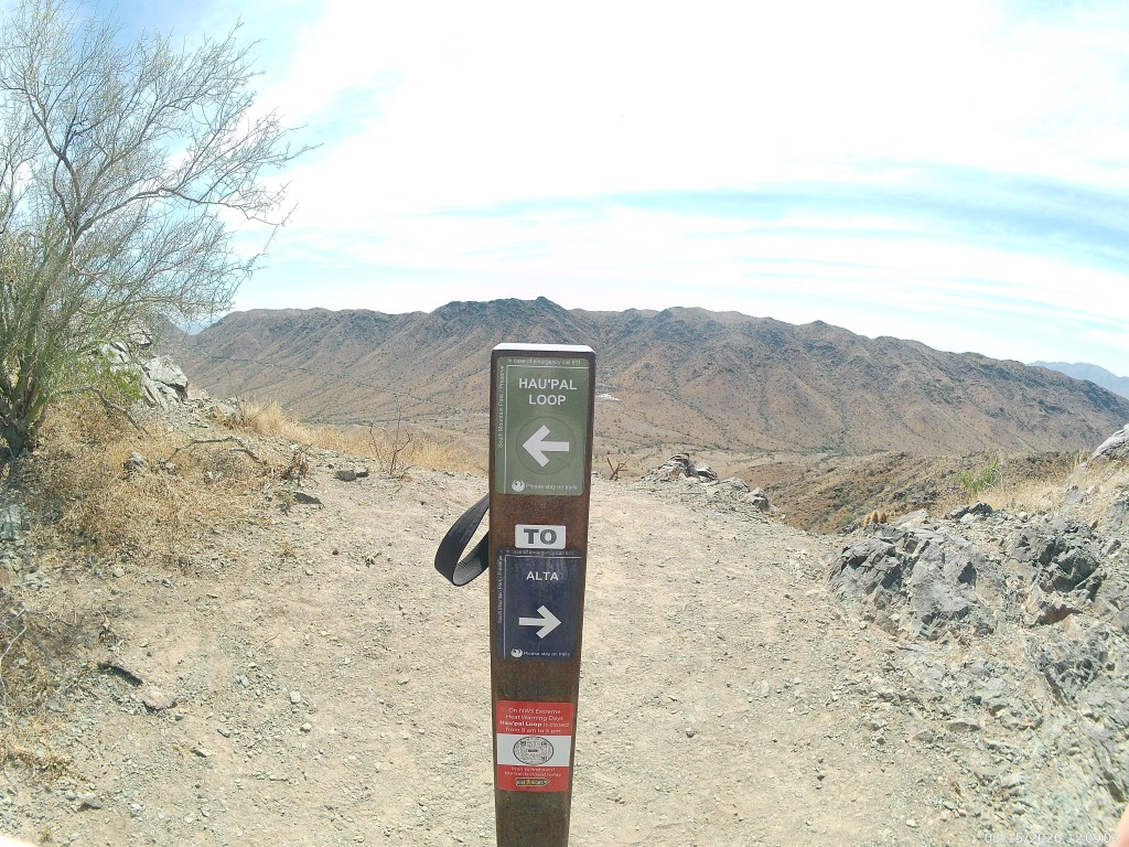
When you first reach the top, you find a T intersection. The thin trail to the right (west) connects with the Alta Trail, which does largely the same thing only longer and over there. If you were to combine these hikes, and use either the Bajada Trail or the Ma Ha Tuak Perimeter Trail to complete the loop, that would be high adventure, so to speak, and you should pack a lunch.
The Hua’Pal Loop is only a couple of hours.
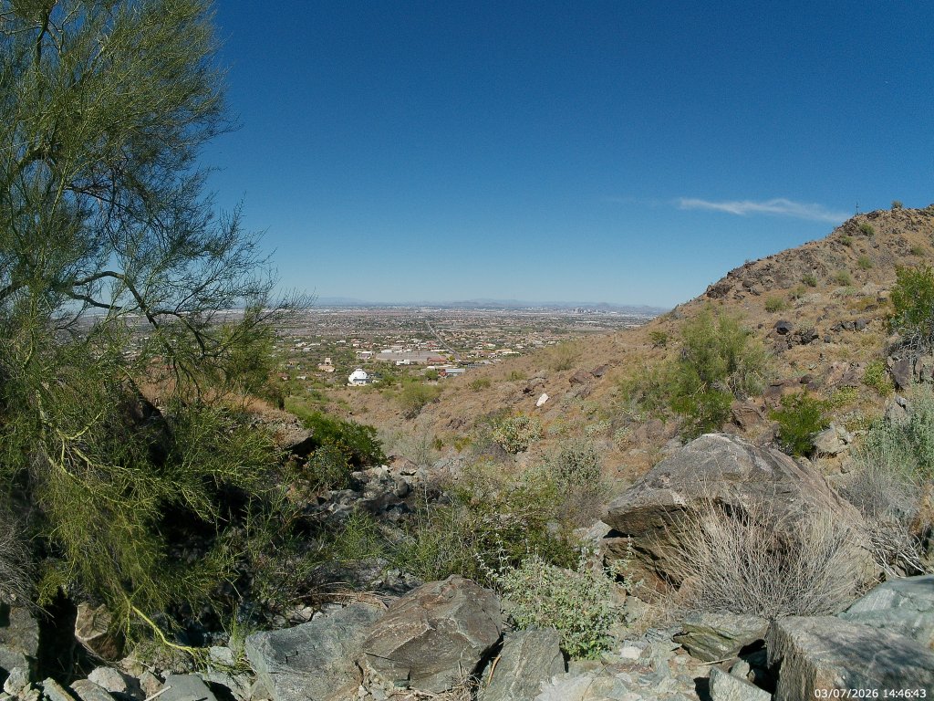
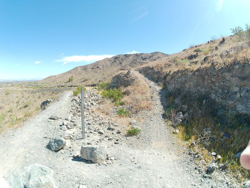
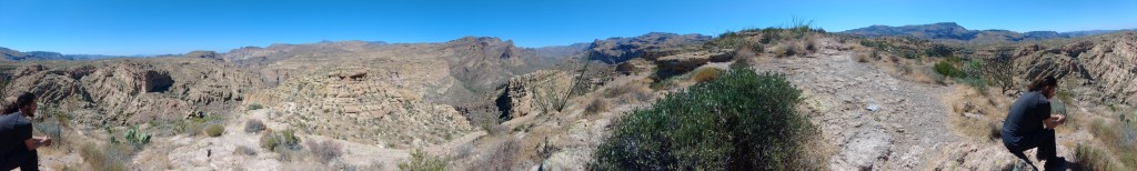
For the next three quarters of a mile, it is also easy single track across the top of the range wih all of Phoenix to your left (north) and the San Juan Valley, and the Gila range beyond to your right (south). Take you time here. This is the good part.
At the eastern edge of the range the trail bends south then back east as it winds it way towards the wide bare dirt junction with Crosscut Trail. Crosscut Trail will take you to the Big Ramada Picnic area in less than a mile. Those are the nearest restrooms. But you are also less than an hour from the trailhead.
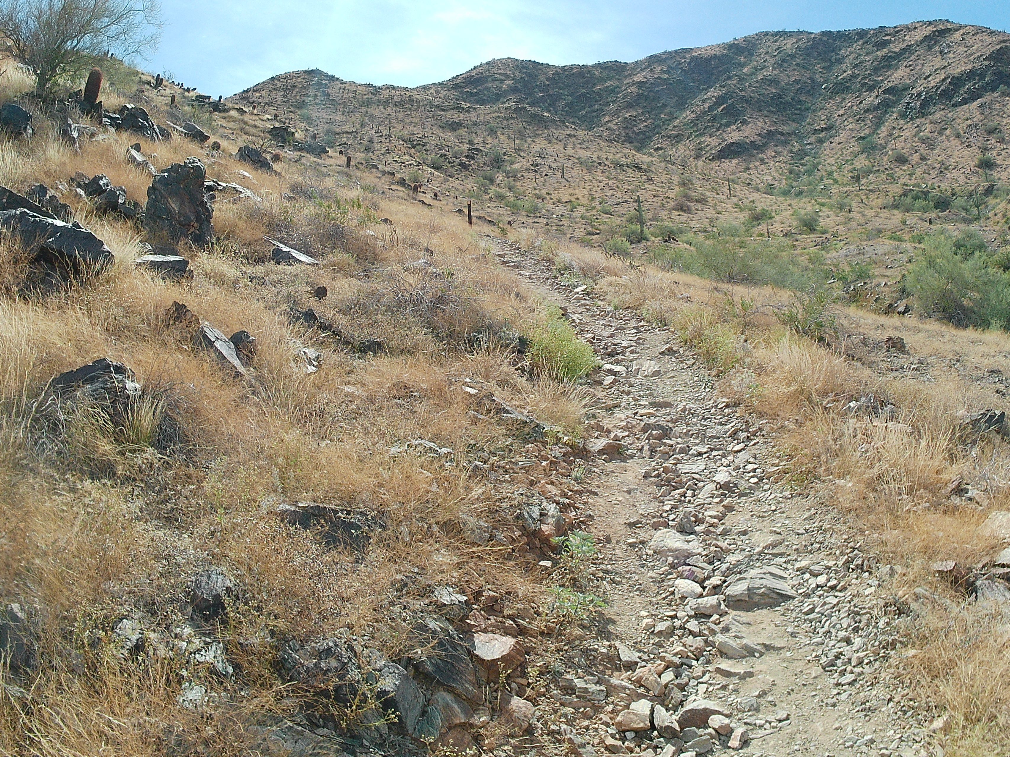
From the Crosscut Junction, you are following what used to be the Ma Ha Tuak Trail as it winds north down the slopes and back to the trailhead.
The entire Trail is about three miles but it will feel like five because of the elevation gained and lost. It took me three hours – but I rarely hurry
Like many South Mountain hikes, it is a terrible idea to do this if the temperature goes over 90 degrees.
In cooler weather – totally worth the calories.