Ma Ha Tuak Perimeter Trail – West

Properly called the Ma Ha Tuak Perimeter Trail, this western-most section winds around the slopes of the small mountain it takes its’ name from.  The full trail starts at the 19th Avenue trailhead (which I described here) and proceeds  west until it winds around the mountain to ultimately terminate with the National Trail a mile south of the San Juan Lookout.  The portion of this hike I’m about to describe makes about a 4 mile loop.

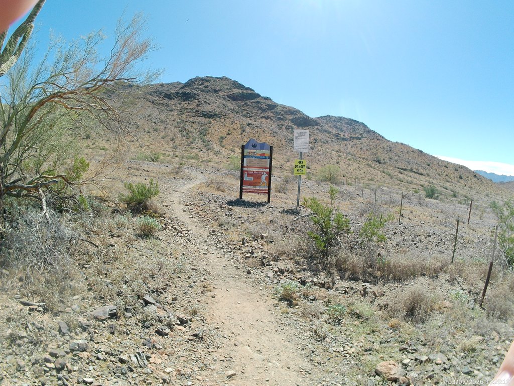
I was not fortunate enough to choose that rare weekend when Brigadoon appeared San Juan Lookout was open to vehicle traffic. So, we start from the Curtis Saddle Trailhead at the dead end of Estrella Drive just east of 43rd Avenue.  The short connector trail T’s with the Ma Ha Tuak Perimeter.

To the east [left] this trail will reach the 19th Ave Trailhead in about six miles. In about a half mile it passes the 35th Avenue “Trailhead” – which is where we turned around for the eastern half.  That wee section will remain a mystery for now. The trail straight ahead goes up and over the saddle to San Juan Lookout. That is our return. To start, we go southwest [right] .
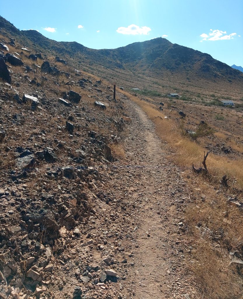
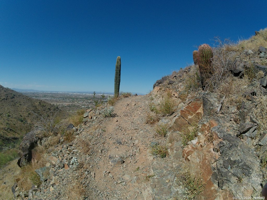
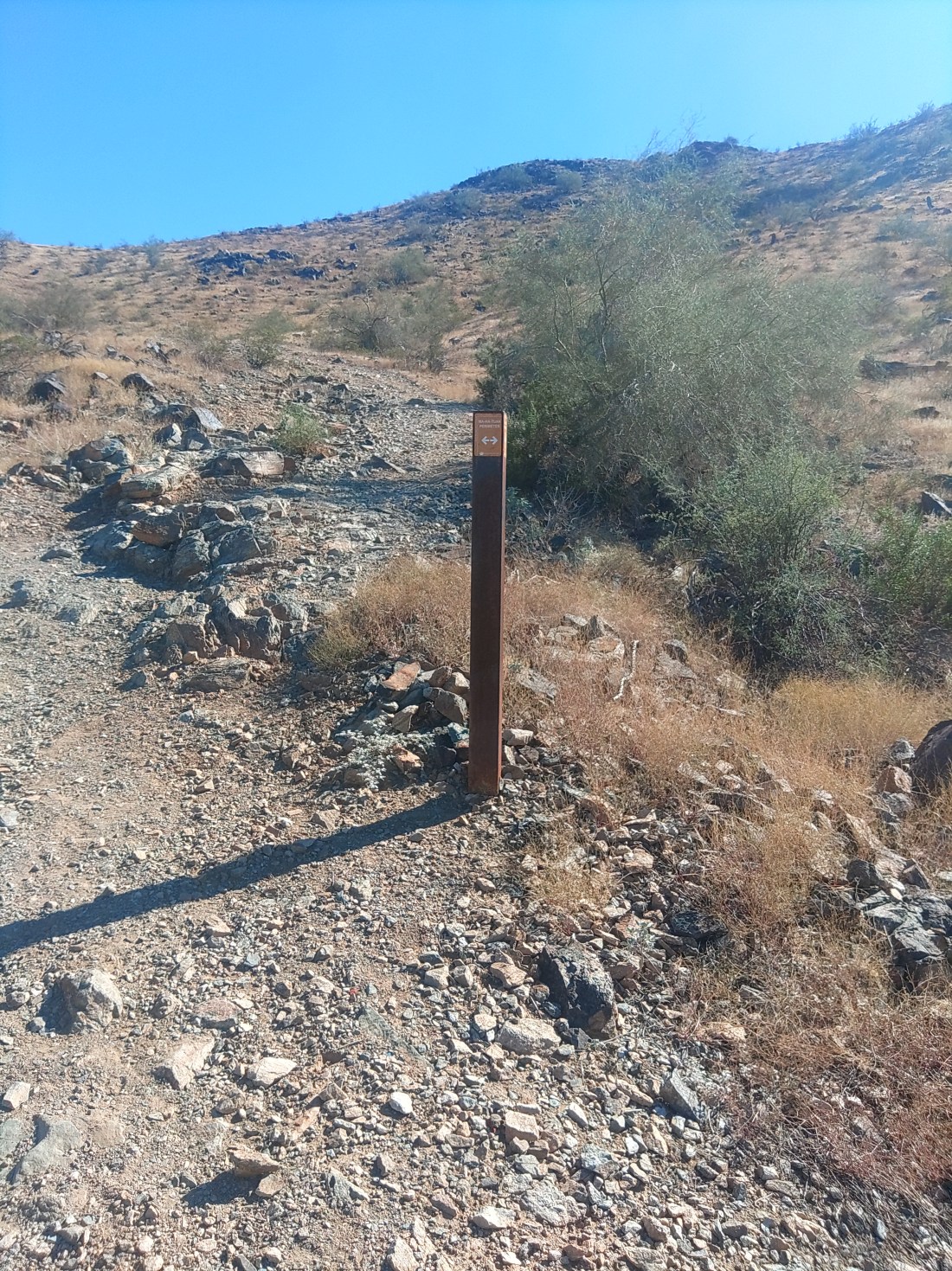
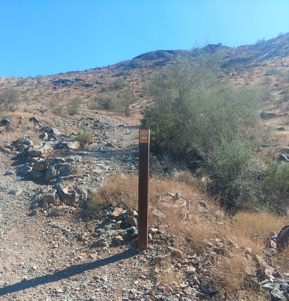
The trail for its entire run is new, mostly packed dirt single track winding around the slope of the mountain, with signposts every half mile or so – as if you need them. If you get lost on this hike, you should think about another form of recreation.

What will not happen is you being overwhelmed with natural beauty. Sure, there’s plenty of the usual cacti: saguaro, barrel, chain-fruit cholla, and a fair bit of ocotillo which is not as common elsewhere in the park. And a hawk circled over my head close enough it could have soiled my had had it been so inclined. All of that is to your left. To your right is Laveen then freeway then county island. Above any hawk traffic roars frequent airplane traffic.

This is a fine hike if you want a moderate difficulty you can do in a few hours with no wilderness skills required.

At about a mile (from where you parked) the trail curves to go northwest for a while until turning south around the end of the mountain. This portion overlooks some of the last actual working farms in city limits. Then it overlooks AZ 202.

If you hike in the morning, you might have some shade through the westernmost portion of the hike. I’m fairly certain this is the westernmost portion of the park reachable by established trail. As you complete the U turn around the mountain, you approach a county island littered with micro-estates. Just before that, you reach where the MHT merges with the Maricopa Trail.

A short connector trail winds southwest from the junction to a trail access point about where Ray Road bends into Dusty Lane. While there are no signs telling you that you can’t park on that easement, I lacked the nerve. Google will show you a road closer to that trail access, but that is actually a private driveway aggressively signed against trespassing.

The real purpose of this is to provide a connection for the Sun Circle Trail, a bicycle route that circumnavigates the valley. The Maricopa Trail is part of that, and the part we want continues forward (southeast). That trail takes you through a wash, over a low ridge and then across another wash after which you are heading east, back into the park.

You head east, past these astonishing large houses for just over half a mile until you come to the large white sand wash where mesquite trees will provide shade somewhere anytime the sun is shing. This is the best part of the hike.
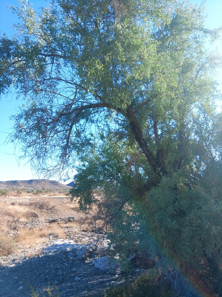
A thousand steps farther east and you cross San Juan Road to the T intersection with the National Trail a few more steps beyond.  Ma Ha Tuak and Maricopa trails both end here.

National Trail runs the length of the park. We want the short section heading north, [right] alongside the road, to San Juan Lookout/Trailhead.  You could take the actual road if that’s easier on your feet. It’s the same half mile.

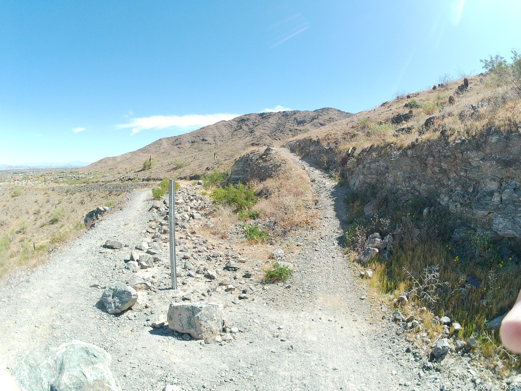
The connecting trail going north from the lookout is not signed, but fairly obvious. There is a high path and a low path. The lower one is a few steps longer but may dip into shade.  They join each other well before they reach the intersection with MHK and the connector road that leads back to your car.

I did this approximately fur mile loop in just over two hours, in no particular hurry. Like all hikes in this park, this is a bad idea if the temperature is over 90 degrees, and illegal if its over 105.
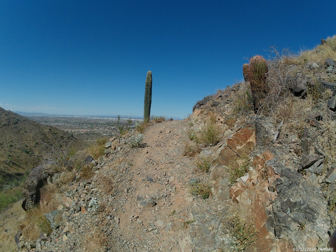
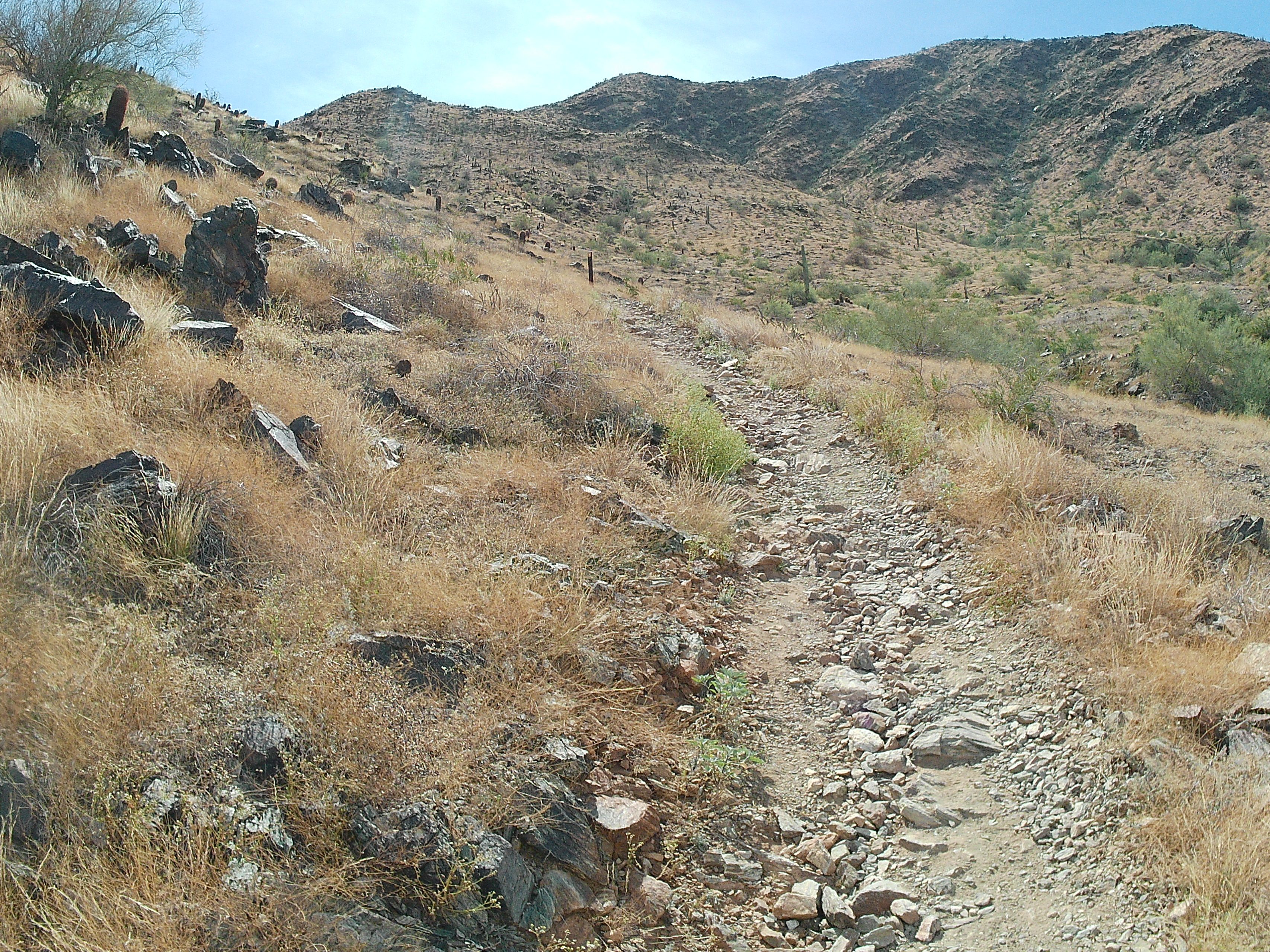
The Ma Ha Tuak Perimeter Trail

Near as I can determine, you pronounce Ma Ha Tuak just as written. It shares the name of the mountain range it partially circles, and the older Ma Ha Tuak Trail, a connector trail that goes due south up the mountain. They are both well marked. Seek the word “Perimeter”.

The Ma Ha Tuak Perimeter Trail, in its entirety, connects the 19th Ave Trailhead with the San Juan Lookout a distance of 7.8 miles.   This description covers the route from the 19th Ave Trailhead, with parking, trash and a water fountain – but no restrooms to the 35th Avenue trail access point (because it would be a stretch to call it a trailhead) over just over 5 miles.  

This is part of my series on hiking in and around the Phoenix South Mountain Preserve.

Phoenix Parks has almost no documentation on this recent addition that they clearly worked hard on. It is not on the current trail map. You will find portions of it on older trail maps as the East Laveen trail.

At the trailhead, find the sign with the word “Perimeter”. It will be towards the west end of the lot, and the dirt track it indicates proceeds west from there. It quickly passes a couple of old pit mines and a ruined homestead, and crosses a couple of washes until it turns south to climb a bit up on the slopes of the Ma Ha Tuak Mountains. [We wrote about the geology of these on the Alta Trail description].

The trail will snake along the ridgeline, through creosote and barrel cacti and young saguaros, with occasion bends to go in and out of washes. Those washes, and the palo verde trees they host, are your only possible source of shade. Not long ago, this trail was one of the most remote in the system, but with the growth of Laveen, use of this trail has also grown.

The East Laveen Trail was primarily an equestrian route for the farmers and ranchers of Laveen Many storefronts, and all of the bars, in Laveen have hitching posts in front, and residents use them.

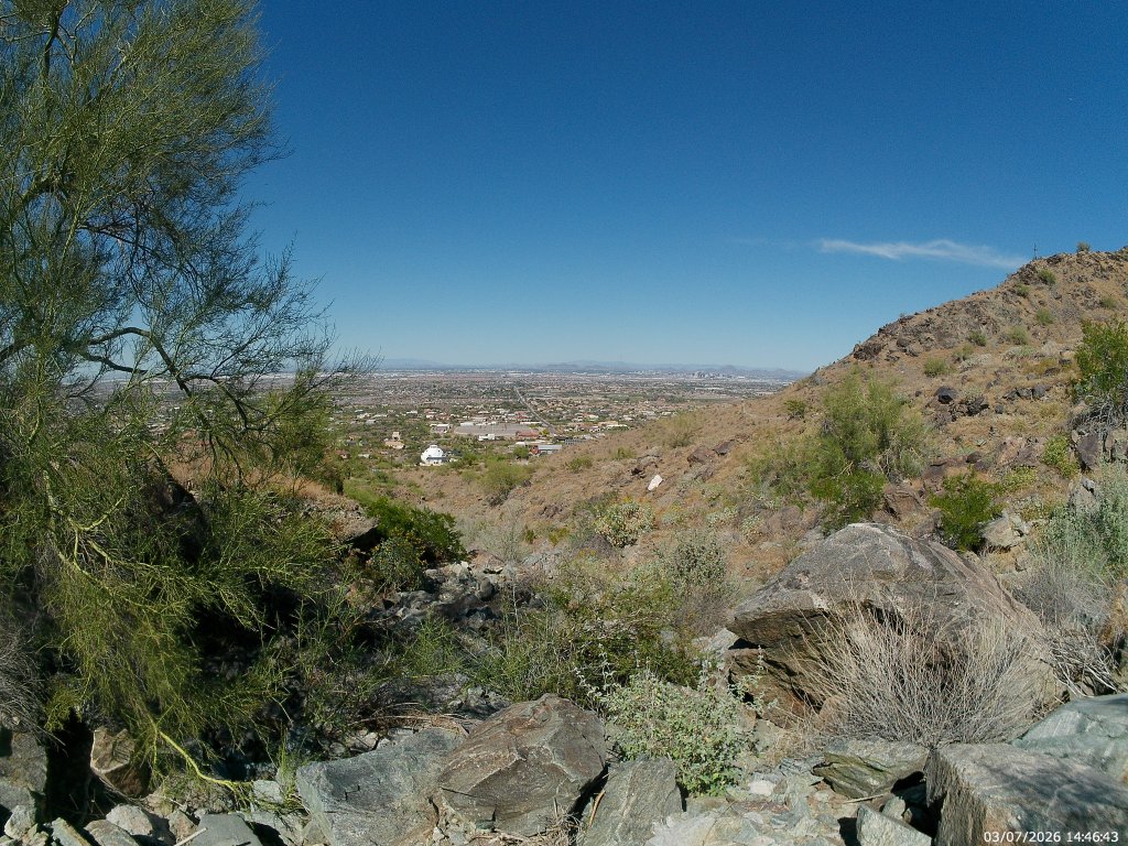
So, yes, that’s Laveen stretching out below you. Beyond the patchwork of small, weird mansions that creep up the slope to the park boundary, the once quiet farming community of Laveen is being slowly eaten alive by gated housing communities.

Laveen is generally defined as north of the mountains, east of the Gila Reservation, south of the Salt River, and west of 27th Avenue – though most locals consider their western boundary to be 19th Avenue – at least south of Dobbins.  Sure. Excepting a few county islands, it’s all Phoenix now.

Phoenix grew south and west towards the sleepy village until 1960, when it directly bordered and then started to annex the village. However, up until the start of this century, you could not tell the difference. As late as 1990, only the major arteries were paved, and not paved that well. They did not have municipal water service until this century.

And now the farmland is slowly giving away to remarkably similar single family homes surrounded by walls and moats.

You’ll still see horse-shoe prints, and horse droppings on this trail, but you are more likely to encounter trail runners and mountain bikers. That said, it is still quiet compared to most of the north slope trails.  [If you really want quiet, try the Bajada Trail.]

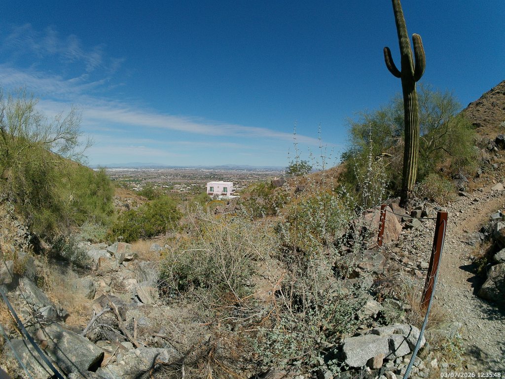
The Pink House (you won’t miss it) is about the halfway point for this portion of the hike. Someone paid extra for the privilege of having hikers stare down into their yard and coyotes go through their garbage. Even at this height you can see most of the west valley in clear weather. They can see it from their upstairs room.

This house is below what I’ve dubbed the 27th Ave Wash (that’s the road heading north into the horizon) where the Park Service has installed railings for reasons I cannot conjure.  The trail bends north out of the wash until it clears this little canyon to bend back west.

Less than a mile later, the footpath will dump into a remnant road, and the trail follows that for a half mile until it splits visibly south from the old roadway. The footpath going south, and up, is the trail staying in park boundaries. The straight road west will soon end in private property, though there is clearly common access from the residential Ansell Road.

East end of the split.

A bit beyond that split you will come to the intersection with a short access trail that dumps into the  southern terminus of 35th Avenue. While the trail has signed public access, the dirt lot beyond the boundary is basically someone’s extended driveway. I’d feel fine walking across it, or being dropped off here, but I couldn’t vouch for actually parking.

35th Avenue Trail Access

The Trail continues from here, winding south around the western edge of the range and then to meet the National trail near the San Juan Lookout. But here is where I realized I was halfway through my water and turned around.

The entire trail is listed as 7.5 miles in length. I feel this portion as about 5.5. It would be a moderate car shuttle, but a hard out-and -back due to the distance.